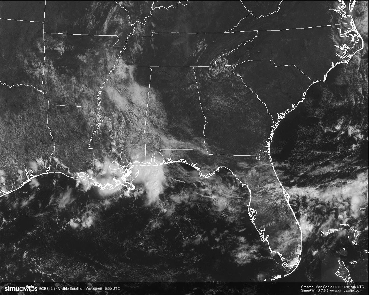
A HOT BUT NOT SO HUMID LABOR DAY: Skies at this hour are mostly clear for much of Central Alabama, with some cloud cover over the western and southwestern counties of the area. Radar is clear of any rainfall for the area at this time as well.
It looks like it will be a mostly sunny holiday out there for you today. An upper level ridge will be setting up over the southeast, and this will bring hot temperatures into the area. Good news is that the dewpoints will be backed down into the mid 60s instead of the low to mid 70s, and this will make the heat index just slightly warmer than the afternoon highs. Expected high for this afternoon will be at or just above 90 degrees.
TEMPERATURES ACROSS CENTRAL ALABAMA AT THIS HOUR:
Birmingham 85
Tuscaloosa 83
Gadsden 84
Anniston 85
Cullman 83
Jasper 86
Alexander City 83
Selma 84
Montgomery 86
NORMS AND RECS FOR TODAY IN BIRMINGHAM: The normal high for September 5rd is 87, while the normal low is 66. The record high for today was set back in 1925 at 106. The record low was set back in 1984 at 53.
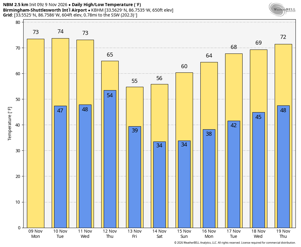
TUESDAY’S WEATHER: A mostly clear and hot day is expected for tomorrow, with afternoon highs reaching the low to mid 90s. The upper level ridge will keep any convection squashed, and will keep chances for rain out of the forecast.
HEADED TO THE BEACH: About 8 to 10 hours of sun is expected on the Gulf Coast from Ft. Morgan to Panama City Beach. Rain chances are limited to today, but afterwords dry conditions prevail through Friday. Highs will range in the 85-90 degree range on the beaches, with low to mid 90s inland. See a very detailed Gulf Coast forecast here.
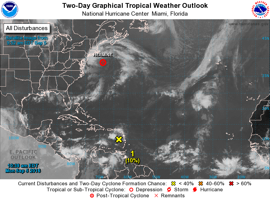
THE TROPICS: Hermine has been a post tropical storm in recent days; it is hanging around off the upper Atlantic coast, and will continue to bring dangerous surf and rip currents, but otherwise it has been far enough off shore for major issues thankfully. It finally kicks out to sea later this week.
A wave (92L) is moving through the Windward Islands this morning… it will move through the Caribbean in coming days, but shear and dry and will make it difficult for this one to develop. The rest of the Atlantic basin is quiet.
ON THIS DAY IN 1989: Thunderstorms produced six to ten inches of rain in south central Kansas between 6 AM and Noon. Serious flooding was reported around Wichita, with water four feet deep along some roads. A cold front crossing the Northern High Plains Region produced wind gusts to 63 mph at Sheridan WY.
THE BLOG IS ON TWITTER: Be sure to follow the Alabama Wx Weather Blog on Twitter. Just click here to start following our feed.
WEATHERBRAINS: This is the show all about weather featuring many familiar voices, including our meteorologists at ABC 33/40. You can listen anytime on the web, or on iTunes. You can find it here.
ADVERTISE WITH US: Deliver your message to a highly engaged audience by advertising on the AlabamaWX.com website. The site enjoyed 10.2 MILLION pageviews in the past 12 months. Don’t miss out! We can customize a creative, flexible and affordable package that will suit your organization’s needs. Contact Bill Murray at (205) 687-0782.