


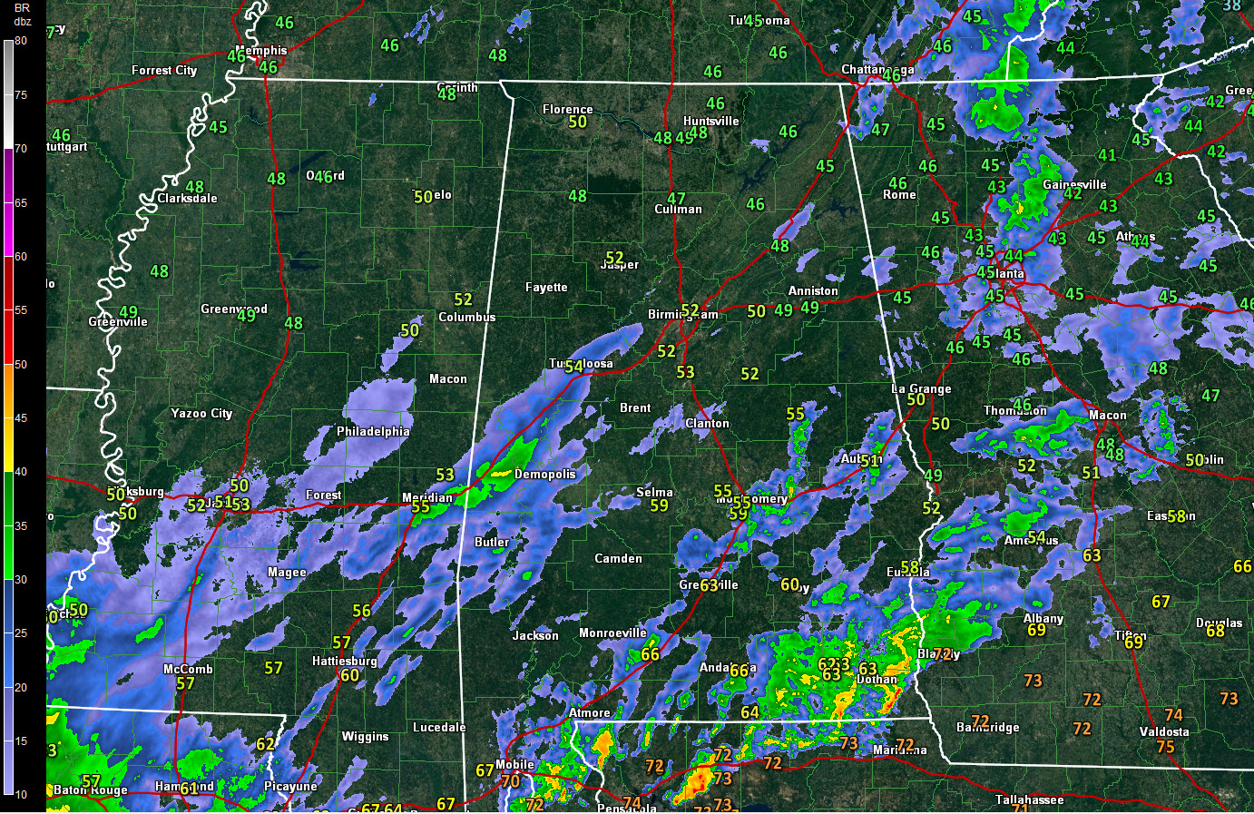
Clouds are thick across Central Alabama on this Sunday afternoon. There is some fog as well as low level moisture is starting to seep into the area from the south, warming those dewpoints. We will be in the upper 40s overnight.
There is a surface low along the coast of the Florida Panhandle, sliding east. The main surface low is building to the east of Brownsville this afternoon. It will bring the main rain and storms tomorrow night.
In between, we remain in a strong southwesterly flow aloft. It is shaking out a few showers from time to time.
There is a confluence zone right along I-59 that is leading to some enhanced enhanced showers along I-59 near and northeast of Meridian. These heavier showers will move across areas along and south of I-20 over the next few hours.
As the surface low moves northeast, additional moisture will surge into Alabama from the south and more showers will start arriving later tonight. Expect waves of rain tomorrow, with thunder eventually being mixed in.
if the warm front comes far enough north, storms could be strong tomorrow night with a few reports of damaging winds or even isolated tornadoes. The main severe weather threat is from Moundville to Clanton to Auburn and back to the south.
Rainfall amounts should be around 1.25 inches through Tuesday morning.
An arctic surge will arrive Thursday with a chance of a few showers, but not much beneficial rain. Highs on Friday will remain in the 30s mostly with a few spots across North Alabama not getting above freezing. We will be in the lower 20s by Saturday morning.



