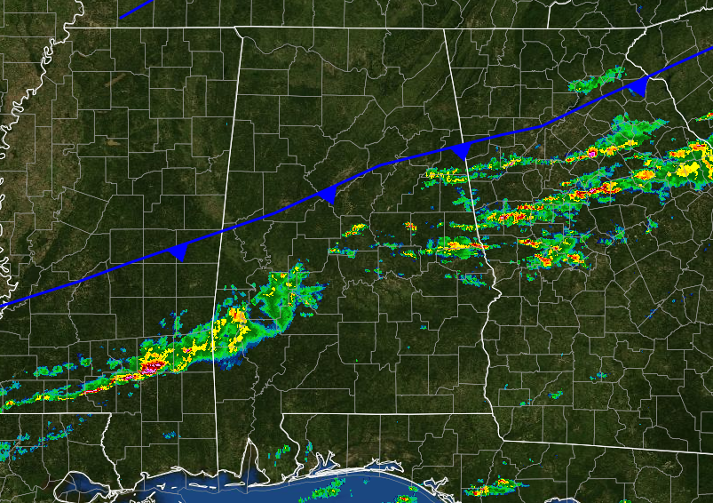
The front has now currently passed south of the I-20 and I-20/59 corridors, and any threat for severe weather north of those interstates have diminished. There is still a very limited severe risk for areas south of a line from Demopoilis to Clanton to Wedowee, with the possibility of damaging straight-line winds up to 60 MPH and a brief tornado. The line of showers and storms should push out of the area later this morning and any threat for severe weather will be out of Central Alabama by 9:00 AM.
Published on: December 29, 2016 at 5:49 AM
Related Articles
November 9, 2026 at 5:42 AM
Some Light Rain Wednesday Night; Much Colder Friday
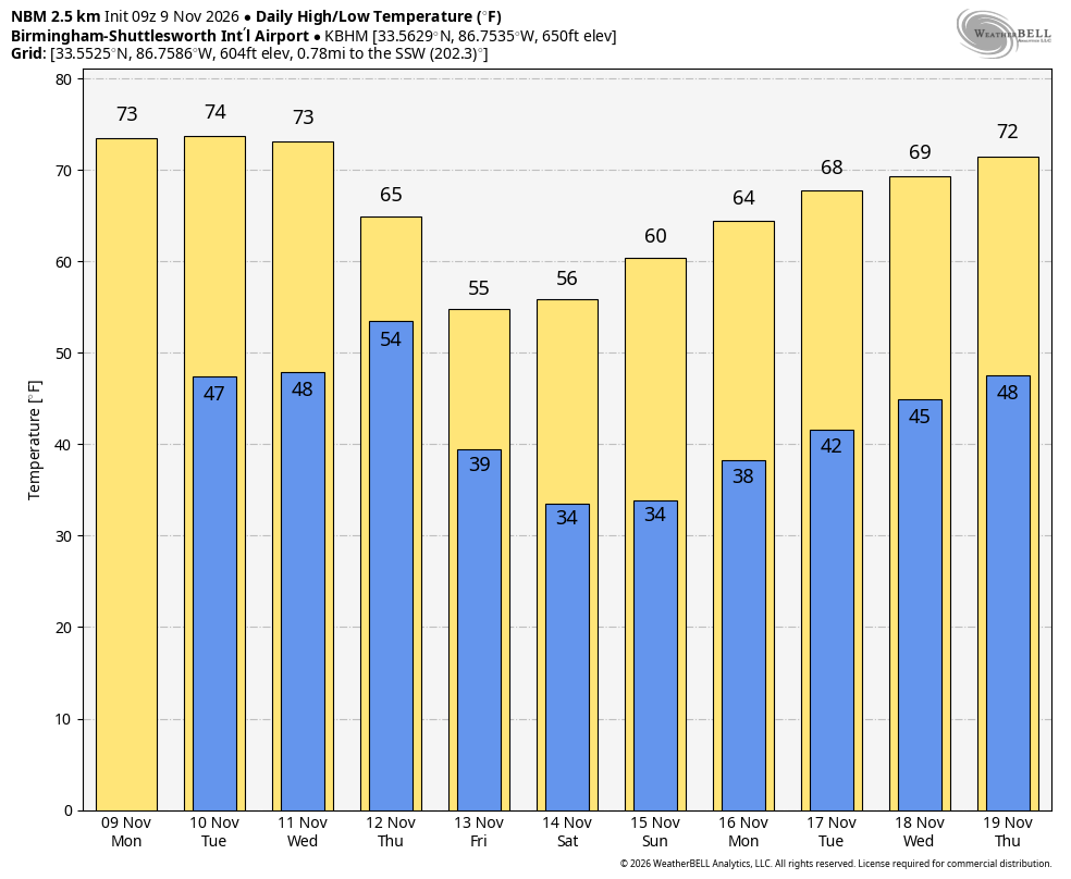
DRY THROUGH TOMORROW: Alabama’s weather will be dry through tomorrow with warmer afternoons… expect highs in the low to mid 70s, which is about ten degrees above average for this time of the year. Clouds will increase Wednesday, and an … Continue reading →
READ MORE
November 8, 2026 at 7:45 AM
Quiet Weather Continues
Daily Weather Briefing Sunday, November 8, 2026 ALABAMA THIS MORNING Temperatures are cold this morning and range from the upper 30s north to the low to mid 40s over the southern two-thirds of the state. Southeast and coastal Alabama sit … Continue reading →
READ MORE
