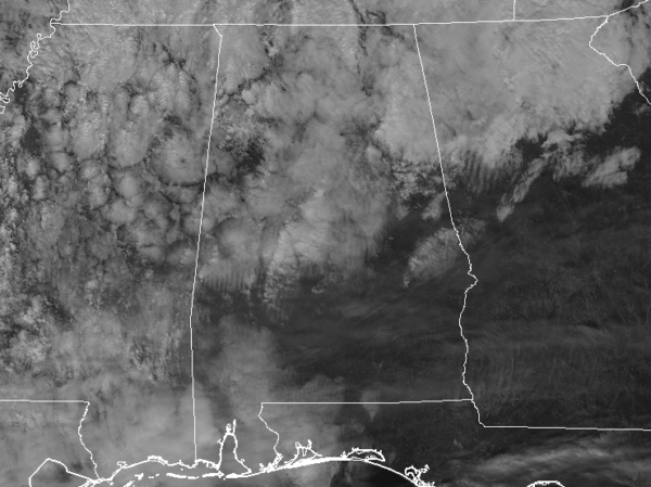
…THE SEVERE THUNDERSTORM WARNING FOR SOUTHWESTERN MADISON…
SOUTHEASTERN LIMESTONE…CENTRAL MORGAN AND EAST CENTRAL LAWRENCE
COUNTIES WILL EXPIRE AT 730 PM CST…
The storm which prompted the warning has weakened below severe
limits, and no longer pose an immediate threat to life or property.
Therefore, the warning will be allowed to expire. However small hail
and gusty winds are still possible with this thunderstorm.
A severe thunderstorm watch remains in effect until midnight CST for
north central, northeastern and northwestern Alabama.
Severe Thunderstorm Warning Issued For Parts Of Lawrence, Limestone, Madison, And Morgan Counties Until 730 PM CST
Feb 8th @ 6:43 pm

The National Weather Service in Huntsville Alabama has issued a
* Severe Thunderstorm Warning for…
Southwestern Madison County in north central Alabama…
Southeastern Limestone County in north central Alabama…
Central Morgan County in north central Alabama…
East central Lawrence County in northwestern Alabama…
* Until 730 PM CST
* At 642 PM CST, a severe thunderstorm was located near Trinity, or 8
miles west of Decatur, moving east at 40 mph.
HAZARD…60 mph wind gusts and quarter size hail.
SOURCE…Radar indicated.
IMPACT…Hail damage to vehicles is expected. Expect wind damage
to roofs, siding, and trees.
* Locations impacted include…
Decatur, Hartselle, Redstone Arsenal, Priceville, Trinity, Triana,
Huntsville International Airport, Somerville, Valhermoso Springs
and Basham.