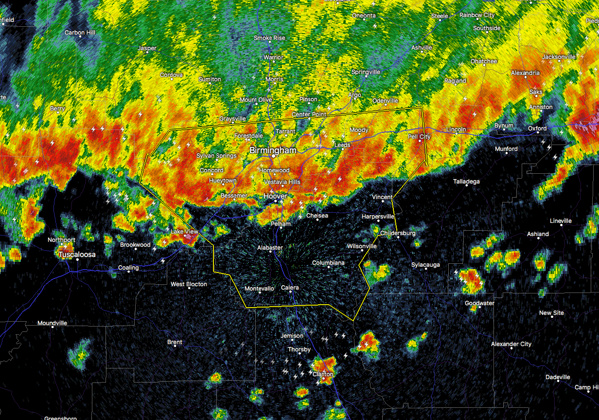
…A SEVERE THUNDERSTORM WARNING REMAINS IN EFFECT UNTIL 330 AM CST FOR SHELBY…JEFFERSON AND SOUTHWESTERN ST. CLAIR COUNTIES…
At 251 AM CST, severe thunderstorms were located along a line extending from Logan Martin Lake to Bull City, moving south at 40 mph.
HAZARD…60 mph wind gusts.
SOURCE…Radar indicated.
IMPACT…Expect damage to roofs, siding, and trees.
Locations impacted include…
Birmingham, Hoover, Vestavia Hills, Alabaster, Bessemer, Homewood, Pelham, Mountain Brook, Trussville, Helena, Hueytown, Pell City, Irondale, Leeds, Moody, Calera, Fairfield, Chelsea, Fultondale and Montevallo.
___________________________________________________________
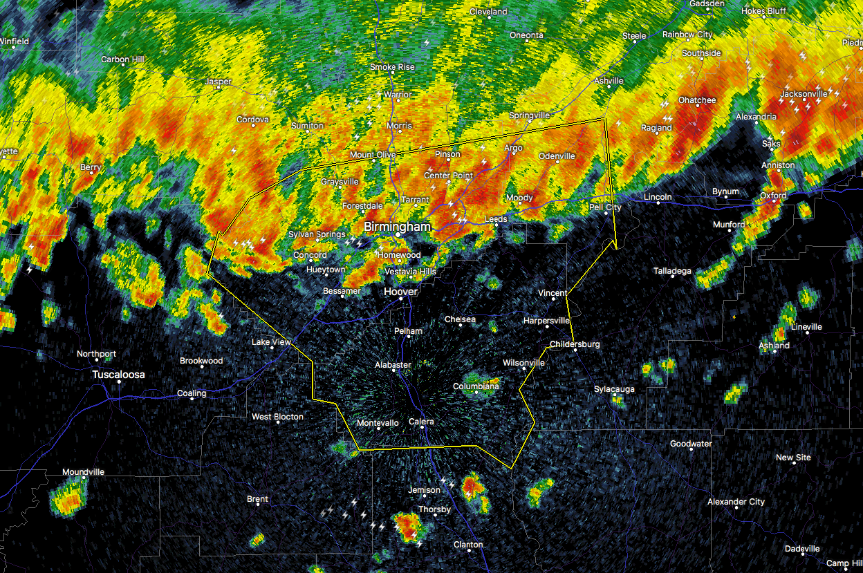
The National Weather Service in Birmingham has issued a
Severe Thunderstorm Warning for…
Shelby County in Alabama…
Jefferson County in Alabama…
Southwestern St. Clair County in Alabama…
Until 330 AM CST
At 236 AM CST, severe thunderstorms were located along a line extending from near Riverside to 6 miles northwest of Oak Grove, moving south at 40 mph. A 56 MPH wind gust was recorded at the Birmingham International Airport.
HAZARD…60 mph wind gusts.
SOURCE…Radar indicated.
IMPACT…Expect damage to roofs, siding, and trees.
Locations impacted include…
Birmingham, Hoover, Vestavia Hills, Alabaster, Bessemer, Homewood, Pelham, Mountain Brook, Trussville, Helena, Hueytown, Gardendale, Pell City, Irondale, Leeds, Moody, Calera, Fairfield, Chelsea and Fultondale.