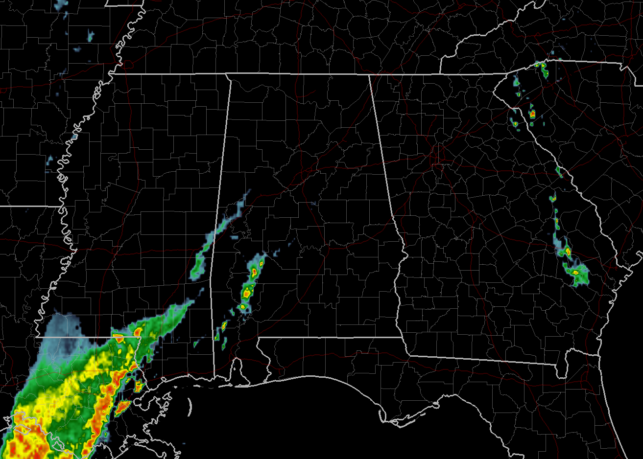
At 912 AM CDT, an interesting pressure feature was moving into western Alabama. This was from previous thunderstorms which since have dissipated.
Winds gusts of 25 to 40 mph will be possible as this feature moves through. Only light showers at best are associated with this feature and the highest winds would be on the back side of the rain.
Therefore NWS Birmingham has issued a Significant Weather Advisory for Walker, Tuscaloosa, Pickens, Southeastern Marion, Central Blount, Northern Greene, Western Jefferson, Winston, Fayette, and Southeastern Lamar Counties until 10:00AM.
Locations impacted include…
Tuscaloosa, Northport, Jasper, Winfield, Fayette, Haleyville, Sumiton, Aliceville, Cordova, Dora, Carbon Hill, Gordo, Reform, Millport, Carrollton, Lynn, Pickensville, Arley, Holt and Adamsville.
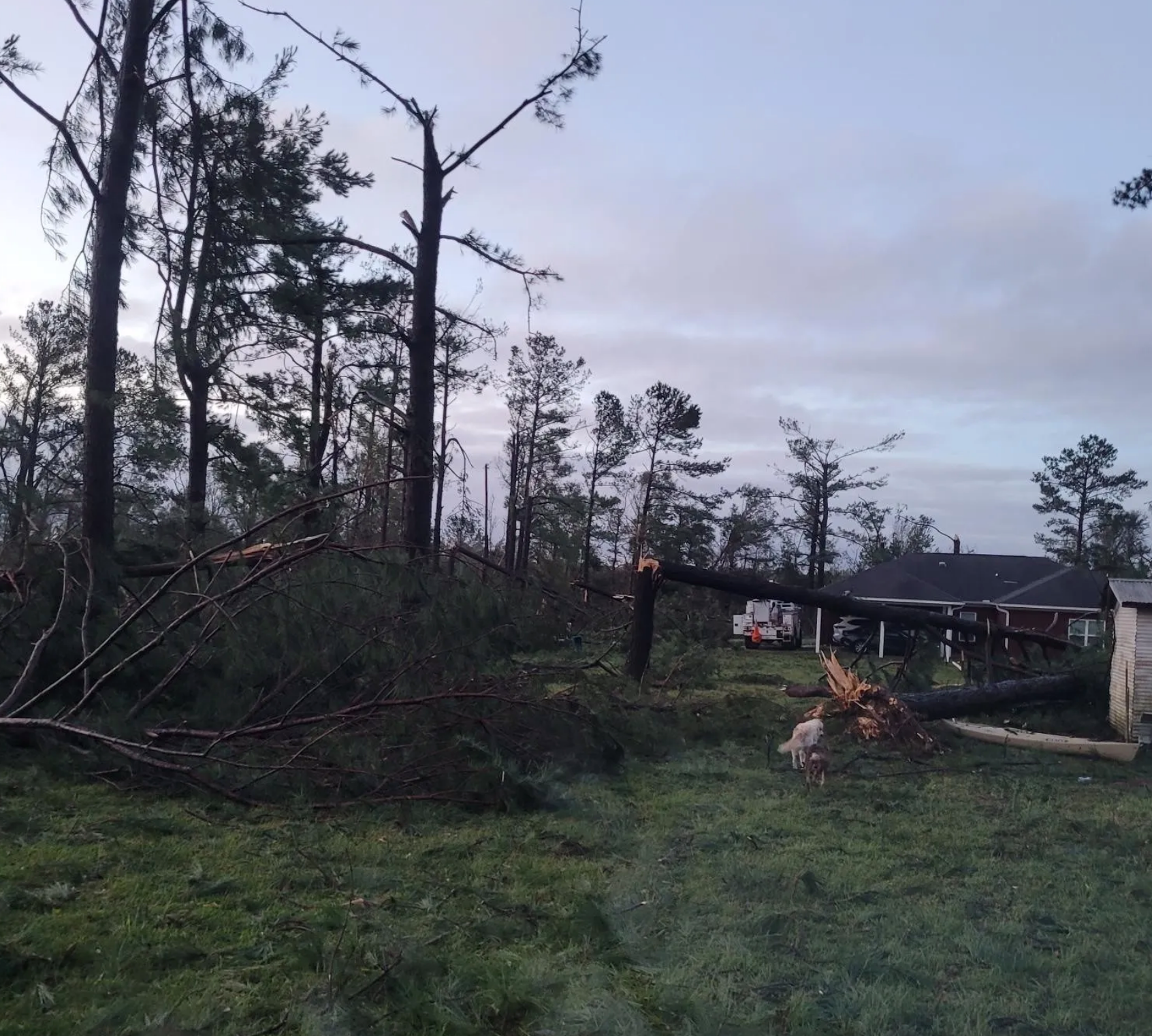
Damage has been reported with this feature back in eastern Mississippi.