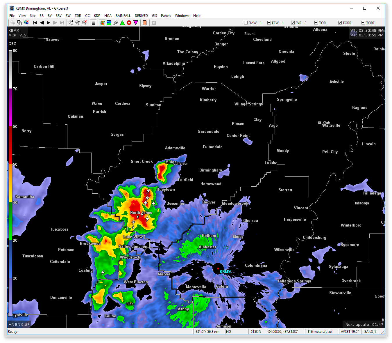
At 351 PM CDT, Doppler radar was tracking a strong thunderstorm over North Johns, or 7 miles southwest of Hueytown, moving northeast at 50 mph. Pea size hail and winds in excess of 40 mph will be possible with this storm.
Therefore NWS Birmingham has issued a Significant Weather Advisory until 4:45 for Jefferson County.
Locations impacted include…
Birmingham, Bessemer, Homewood, Trussville, Hueytown, Gardendale, Fairfield, Fultondale, Sumiton, Pinson-Clay-chalkv, Center Point, Pleasant Grove, Clay, Pinson, Tarrant, Midfield, Adamsville, Argo, Warrior and Brighton.