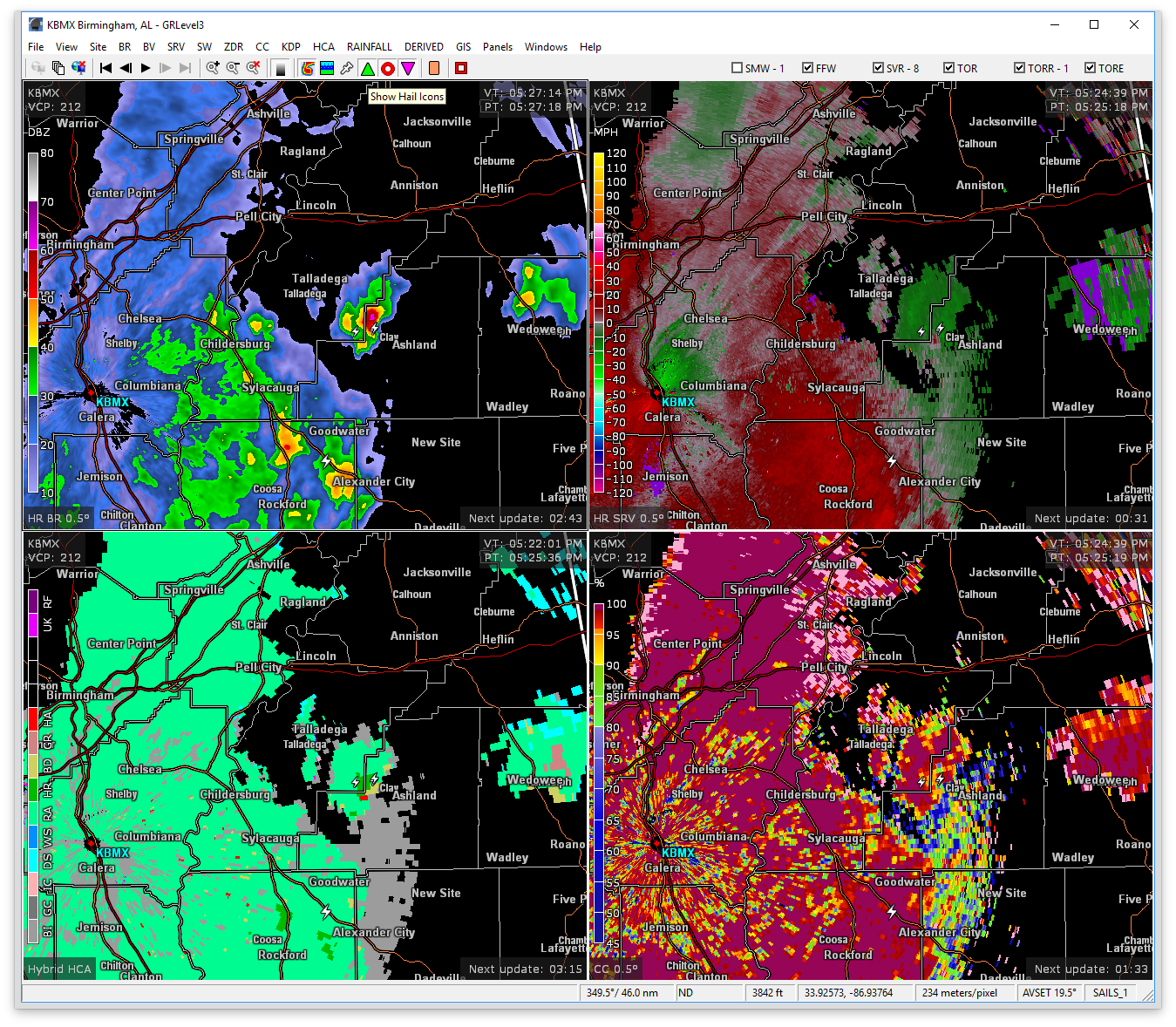
At 524 PM CDT, Doppler radar was tracking a strong thunderstorm near Waldo, or 8 miles west of Ashland, moving northeast at 35 mph. Dime size hail and wind gusts up to 50 mph will be possible with this storm.
Therefore NWS Birmingham has issued a Significant Weather Advisory until 6:30PM for parts of Talladega, Calhoun, Cleburne, and Clay counties.
Locations impacted include…
Anniston, Oxford, Jacksonville, Heflin, Cobb Town, West End-Cobb Town, Fort McClellan, Saks, Weaver, Munford, Hobson City, Waldo, Edwardsville, Anniston Regional Airport, Blue Mountain, Jacksonville State University, Grant Town, Oxford Lake, Mount Cheaha and Choccolocco.