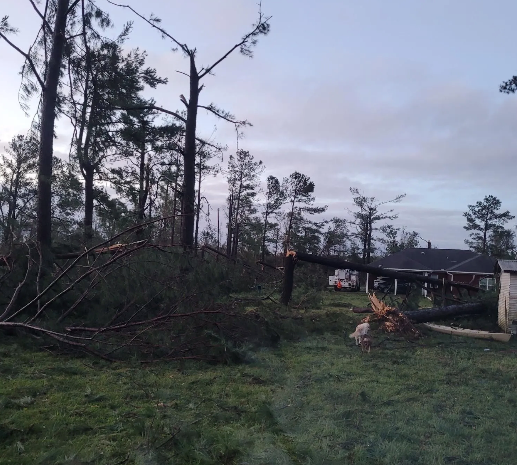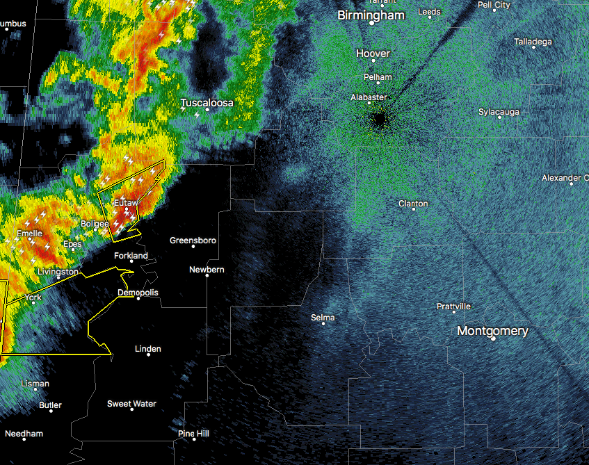
At this moment, the main action across Central Alabama is located to the southwestern parts of the area, and current trends will likely keep most of the severe weather along and south of I-20. Storms on the south end of this line is starting to break apart into bowing segments and some taking on supercellular characteristics. The sweet spot at this moment with the best combination of shear and instability values are located in Hale, Bibb, Shelby, Marengo, Perry, Chilton, and Coosa Counties. We still think that the risk is rather low, but these counties will probably have the best chance of any during the next few hours.
Published on: April 27, 2017 at 1:09 AM
Related Articles
November 8, 2026 at 7:45 AM
Quiet Weather Continues
Daily Weather Briefing Sunday, November 8, 2026 ALABAMA THIS MORNING Temperatures are cold this morning and range from the upper 30s north to the low to mid 40s over the southern two-thirds of the state. Southeast and coastal Alabama sit … Continue reading →
READ MORE
November 7, 2026 at 8:45 PM
Brewton Linemen from Alabama Power Put Community First
Two Alabama Power linemen put their own storm recovery on hold to help restore electricity to their neighbors, demonstrating extraordinary dedication and community spirit. Continue reading →
READ MORE