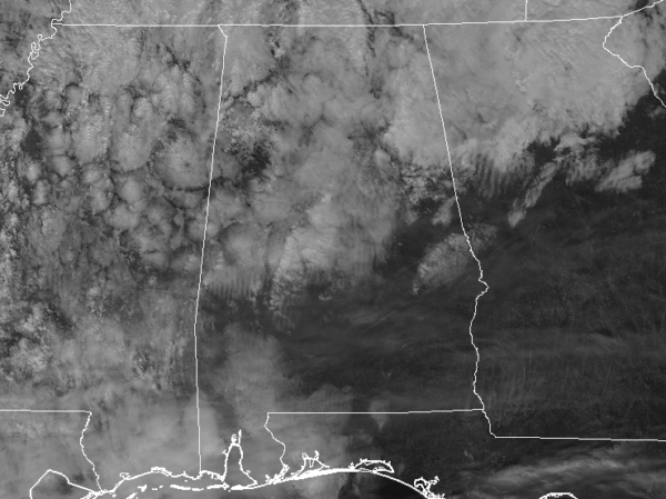
At 3:32 PM CDT, Doppler radar was tracking strong thunderstorms along a line extending from near Falkville to Curry. Movement was east at
45 mph. Very heavy rainfall will occur with this storm. Given the already saturated ground, low lying areas and full creekbeds may quickly
flood and spill out of their banks. Pea size hail and winds in excess of 40 mph will be possible with these storms.
Locations impacted include…
Cullman, Hanceville, Good Hope, Holly Pond, Dodge City, Sardis, Baldwin, Vinemont, Baileyton and West Point.
Strong gusty winds will be capable of knocking down small tree limbs along with other small unsecured items. Seek safe shelter until this
line of storms has passed. Very heavy rainfall is also occurring with these storms and may lead to localized flooding. Do not drive your vehicle through flooded roadways. Frequent cloud to ground lightning is occurring with these storms. Lightning can strike several away from a thunderstorm. Seek a safe shelter inside a building or vehicle.