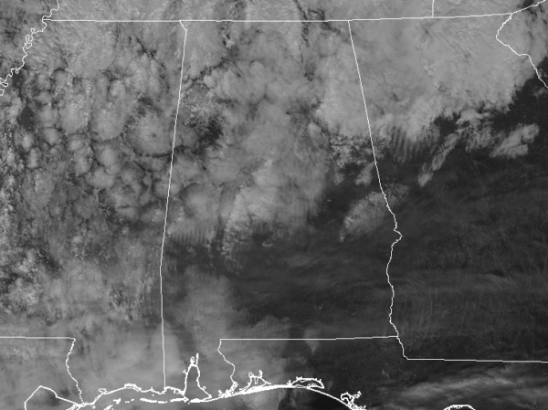
At 1:55 PM CDT, Doppler radar was tracking strong thunderstorms along
a line extending from near Cleveland to Altoona to near Ashville.
Movement was northeast at 35 mph.
Winds in excess of 40 mph will be possible with these storms.
Locations impacted include…
Gadsden, Trussville, Leeds, Moody, Rainbow City, Oneonta,
Springville, Odenville, Blountsville, Cleveland, Clay, Pinson,
Attalla, Glencoe, Margaret, Argo, Ashville, Sardis City, Ragland and
Locust Fork.
PRECAUTIONARY/PREPAREDNESS ACTIONS…
Frequent cloud to ground lightning is occurring with these storms.
Lightning can strike 10 miles away from a thunderstorm. Seek a safe
shelter inside a building or vehicle.