


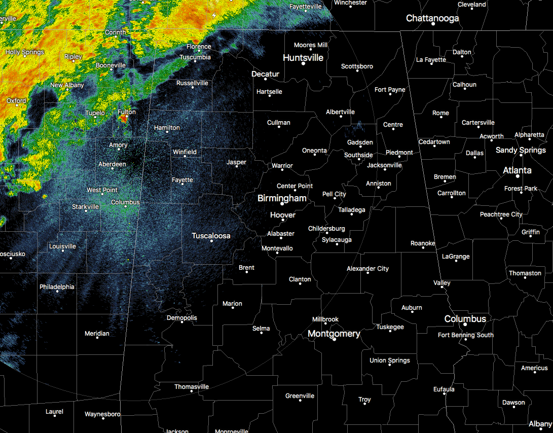
RADAR CHECK AT 5:45 AM
Just a few showers and storms have moved into the northwestern corner of the state, mainly affecting locations along and west of a line from Red Bay in Franklin County to Muscle Shoals in Colbert County to Lexington in Lauderdale County. None of these are showing signs of approaching severe criteria, as the stronger storms are still located back to the west in Mississippi and to the north in Tennessee. At this point, movement of these cells are moving to the northeast at 25 MPH.
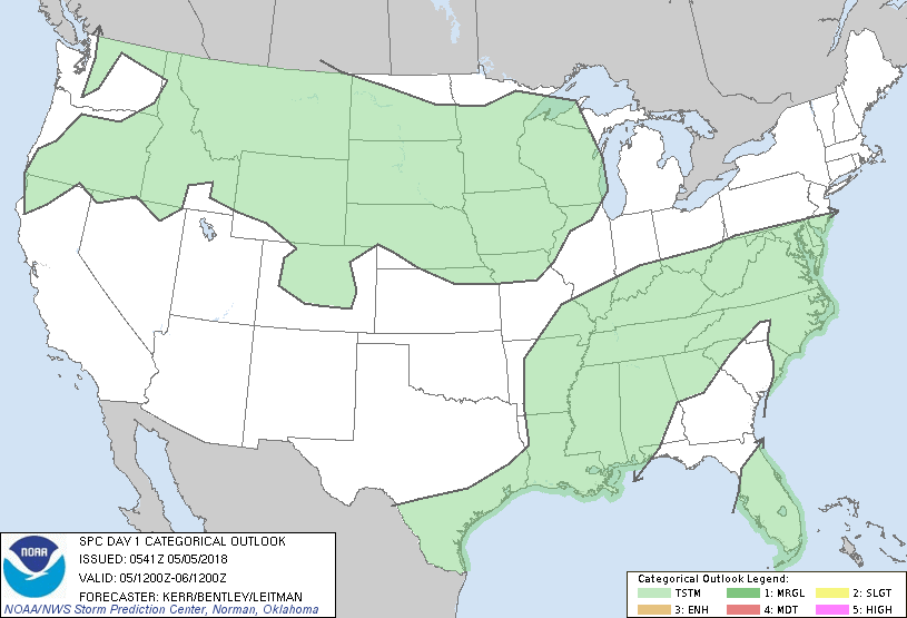
The latest update from the Storm Prediction Center shows that there is no longer a threat of organized severe storms throughout the lower 48 states, as the Marginal Risk has been removed from portions of North and West Alabama.
A cold front, which is associated with a weak surface low in southern Indiana, is slowly moving its way towards North/Central Alabama this morning. The bad news for that cold front is that we have a ridge of high pressure over the southeast keeping us in a dry airmass. As the rain and thunderstorms move into the state, the dry air in place will help dissipate those as they attempt to move eastward into the central parts of Alabama. Instability will be limited as the main dynamics will lag behind the cold front, so the risk of severe storm development will be very low. A few of these storms may be strong with gusty winds and small hail, but there will be no tornado threat with this system.
The higher chances of rain will remain west of the I-59 and I-59/20 corridors throughout the day, and all activity will diminish completely by the late evening hours. Several locations will stay rain free today as the showers and storms will become scattered in nature later in the morning.



