


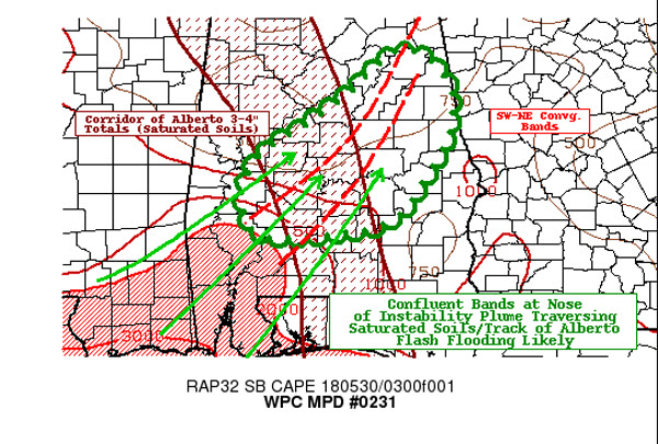
Thunderstorms are intensifying late tonight across Central Alabama from western Chilton through Autauga, southeastern Perry and Dallas Counties.
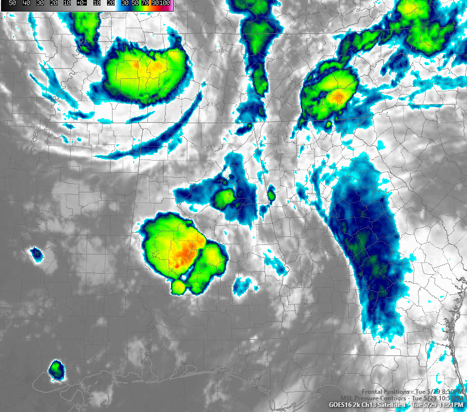
They are associated with a convective band around Subtropical Depression Alberto, which is moving out of western Tennessee into western Kentucky tonight.
Moisture and instability are converging in a zone across Central Alabama and the result is high octane fuel for storms. They are not severe and are not expected to become severe, although they are producing tons of lightning.
The threat is flash flooding from very heavy rains. These areas received heavy rainfall overnight last night as well.
Rainfall rates may approach 2 inches per hour and storms will move over the same areas like cars in a train, meaning rainfall totals will easily cause flash flooding.
The following counties are at the highest threat for flash flooding for the next few hours.
Perry
Dallas
Wilcox
Chilton
Autauga
Coosa
Talladega
Clay
Tallapoosa
Randolph
Cleburne
Calhoun
Cherokee
Elmore
Lowndes
Autauga
If storms set up in your area and your area is prone to flooding, please be prepared to take action. Monitor NOAA WeatherRadio and apps like MyWARN that give you flood warning notifications. Stay tuned to the AlabamaWX blog as well. We will be posting warnings the minute they are issued.



