


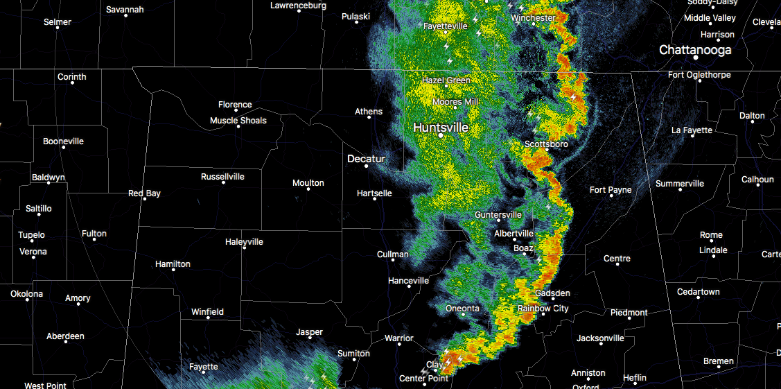
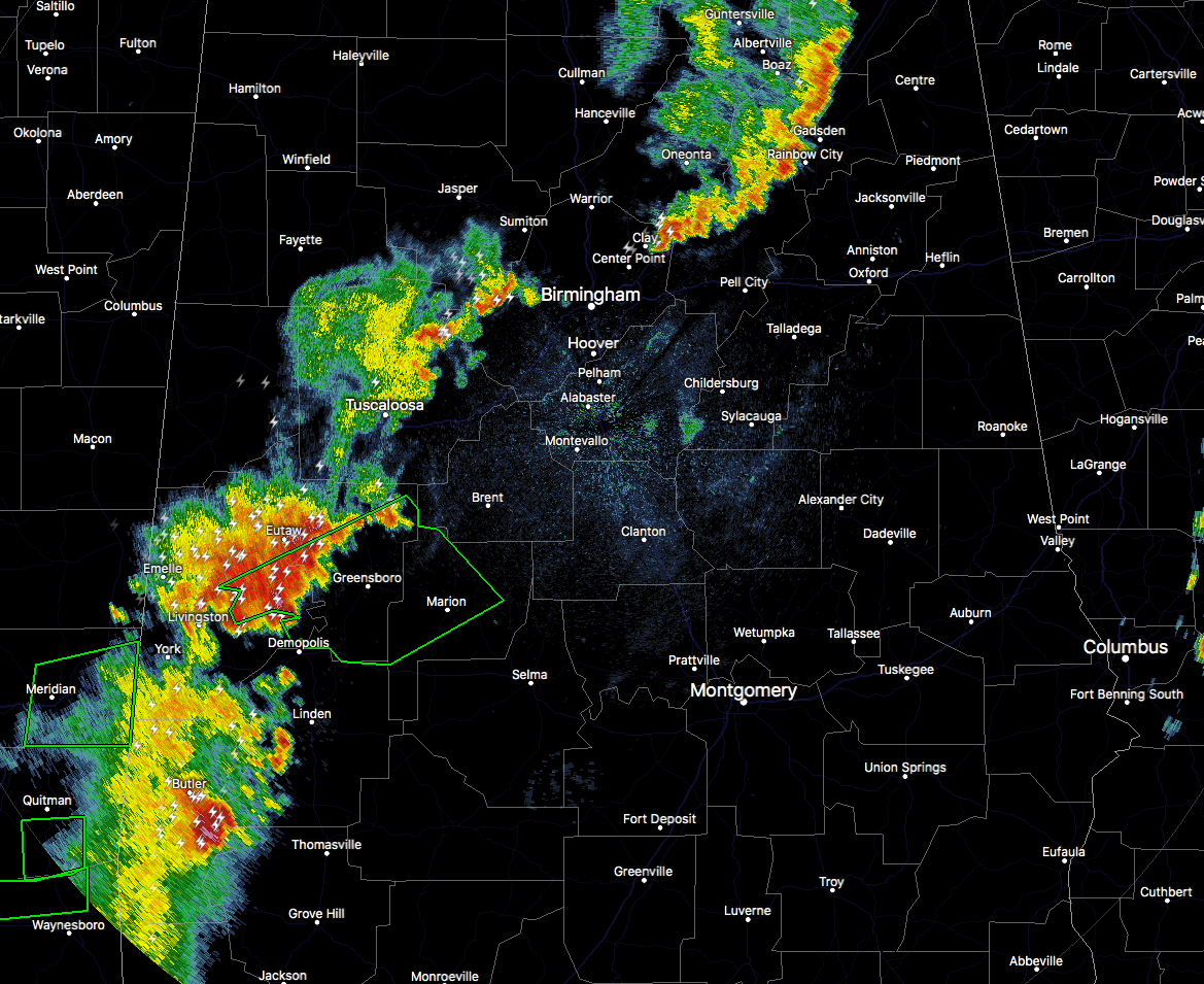
RADAR CHECK AT 8:10 PM: Storms continue to roll eastward through North and Central Alabama as there are two different lines of strong storms that are producing gusty winds, heavy amounts of rain, and very dangerous cloud-to-ground lightning. One line stretches from Hytop (Jackson Co.) to Geraldine (Dekalb Co.) to Steele (St. Clair Co.) and ends in Pinson (Jefferson Co.).
A second line of storms is farther back to the southwest, stretching from Sylvan Springs (Jefferson Co.) to Akron (Hale Co.) to Cuba (Sumter Co.).
There are no Severe Thunderstorm Warnings at this point, but a few of these currently have Significant Weather Advisories issued on them.
A Flash Flood Warning is in effect for portions of Greene, Hale, and Perry counties until 11:15 PM, as storms moving through those locations are producing upwards of 1.50″ of rain in the last hour. With waters already running high in the area, there will likely be flooding issues.
NWS Birmingham allowed the Flash Flood Watch to expire.
That cluster of storms are also the strongest on radar at the moment, producing the heaviest rainfall and the most lightning. If you are in the path of this storm, be ready for very heavy downpours and frequent lightning. Definitely do not be outdoors when this storm arrives.



