


Weather For The Rest Of Your Thursday
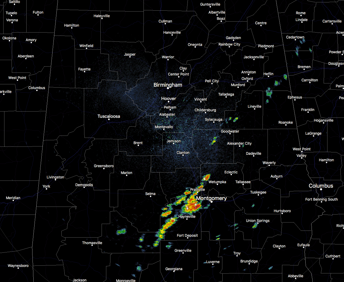
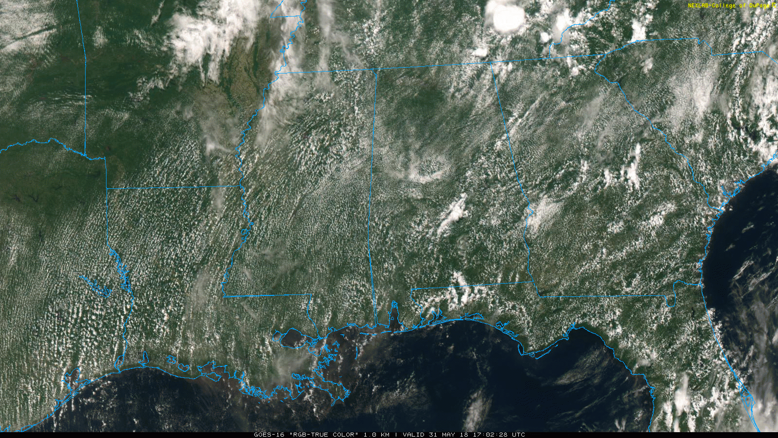
As we have a mix of sun and clouds across Central Alabama at the midday hour, and with all of the moisture in the atmosphere and in the soil, it feels extremely muggy. A few showers and thunderstorms have developed in the southern parts of the area mainly in Lowndes and Montgomery counties, and these will slowly drift off to the south. The rest of Central Alabama is quiet at this point with temperatures ranging from the upper 70s to the mid-80s.
The heat index will come into play today as all of the moisture in the atmosphere and in the saturated ground will make those dewpoints rise into mid to upper 70s, which will make our daytime highs feel about 10 degrees warmer than the actual temperature. Afternoon highs will make it up into the upper 80s to the lower 90s from east to west with head indicies up in the upper 90s to the lower 100s. Take it easy if working outdoors today.
Even though the Storm Prediction Center does not have a defined risk area over Central Alabama, NWS Birmingham has included a Marginal Risk for severe storms defined for locations north of a line from Detroit (Lamar Co.) to Clanton (Chilton Co.) to Eclectic (Elmore Co.) to Lanette (Chambers Co.). Any thunderstorms that develop or move into this risk area will have the possibility of damaging thunderstorm wind gusts up to 60 MPH, especially from 12:00 PM to 8:00 PM today. The better chances of showers and storms will be in the extreme southern parts of the area and in the northeastern quarter of the area, while everyone else in Central Alabama will have a small risk of showers and storms.
For tonight, any showers and storms that move in or develop across the area will diminish after we lose the main heating of the day after sunset and we’ll be left with a mostly clear sky. Overnight lows will be in the lower to mid-70s. There may be a few showers and storms that move into the northwestern parts of the area before sunrise, but the risk for that is small at this point.
Friday Through The Weekend
Tomorrow is the first day of Meteorological Summer in Central Alabama, and boy will it feel like it too. Afternoon highs will make it back up into the upper 80s to the lower 90s across the area, and that heat will continue throughout the weekend, with highs in the lower to mid-90s on Saturday and the upper 80s to the lower 90s for Sunday.
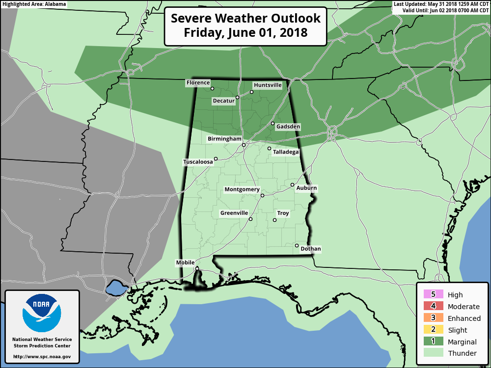
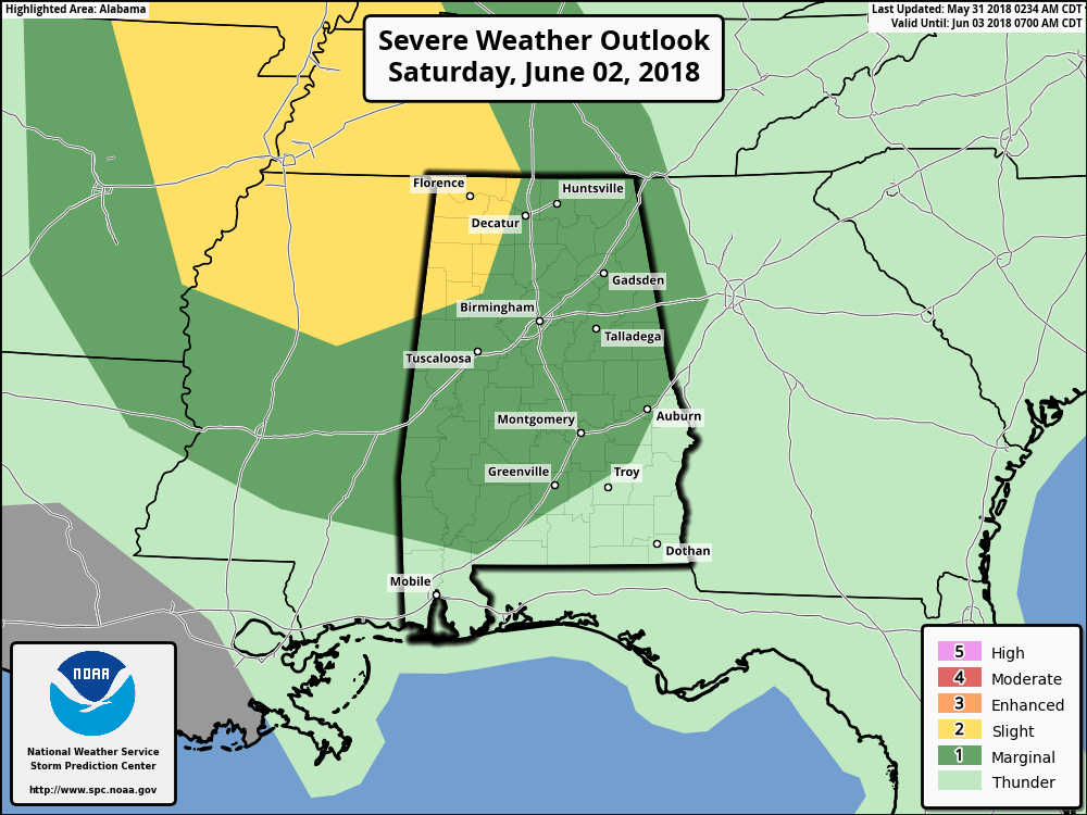
We’ll have a mix of sun and clouds on each day, and with the higher humidity levels, we’ll have a risk of scattered afternoon and evening showers and storms. Some of these storms on Friday and Saturday could be strong to severe as the SPC has a Marginal Risk for severe storms on Friday for the northern third of the area, and a Marginal Risk for nearly the entire area on Saturday with the northwest corner defined in a Slight Risk for severe storms. There is a possibility for strong to severe storms again on Sunday as a cold front will be moving closer to the area. Damaging thunderstorm wind gusts of 60 MPH or higher will be the main threat with any of the severe storms that may develop.
On This Day In Weather History
1889 – The Johnstown disaster occurred, the worst flood tragedy in U.S. history. Heavy rains collapsed the South Fork Dam sending a thirty foot wall of water rushing down the already flooded Conemaugh Valley. The wall of water, traveling as fast as twenty-two feet per second, swept away all structures, objects and people. 2100 persons perished in the flood.
Beach Forecast Center
Get the latest weather and rip current forecasts for the beaches from Fort Morgan to Panama City on our Beach Forecast Center page. There, you can select the forecast of the region that you are interested in.
WeatherBrains
Don’t forget you can listen to our weekly 90 minute netcast anytime on the web at WeatherBrains.com or on iTunes. This is the show all about weather featuring many familiar voices, including the meteorologists at ABC 33/40.
E-Forecast
Get the AlabamaWx Weather Blog’s Seven-Day Forecast delivered directly to your inbox by email twice daily. It is the most detailed weather forecast available in Central Alabama. Subscribe here… It’s free!
Advertise With Us
Don’t miss out! We have enjoyed over 10.2 MILLION page views on AlabamaWx.com since the start of 2018. We can customize a creative, flexible and affordable package that will suit your organization’s needs. Contact Bill Murray at (205) 687-0782.



