


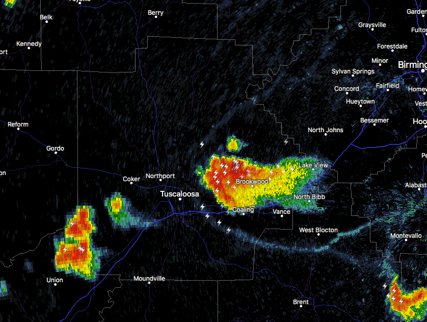
Just after 5:00 PM we see a pretty hefty thunderstorm that is currently approaching the city of Tuscaloosa from the east at 20 MPH. This storm may include strong gusty downdraft winds up to 40 MPH or over, along with very heavy rainfall and dangerous cloud-to-ground lightning.
Locations in the path of this storm include Tuscaloosa, Northport, Holt, Brookwood, Coaling, Coker, McFarland Mall, Tuscaloosa Amphitheater, Bryant Denny Stadium, Tuscaloosa Regional Airport, Lake Wildwood, University Mall, Deerlick Creek Campgrounds, Lake Tuscaloosa, Cottondale, Flatwoods, Peterson, Lake Harris, Stillman College and Lake Nicol.
There is an outflow boundary that has formed and is speeding out ahead of this storm and we’ll have to watch to see if any more storms develop along or just behind this boundary.
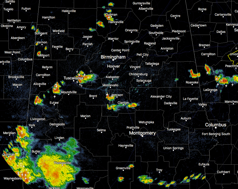
There are more scattered showers and storms out there across portions of Central Alabama at this point, but the storm approaching Tuscaloosa is the strongest on radar. All of these storms are moving to the west or southwest at approximately 15-20 MPH. We’ll keep our eyes on these storms just in case any more become strong.



