


WPC Quantitative Precipitation Forecast through early next week
UPDATE 5:30 PM
The NWS offices in Huntsville and Birmingham have canceled the flash flood watches for all Alabama counties.
The threat of heavy rain has ended.
ORIGINAL POST
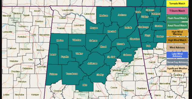
The National Weather Service continues flash flood watches for parts of central and North Alabama through this evening.
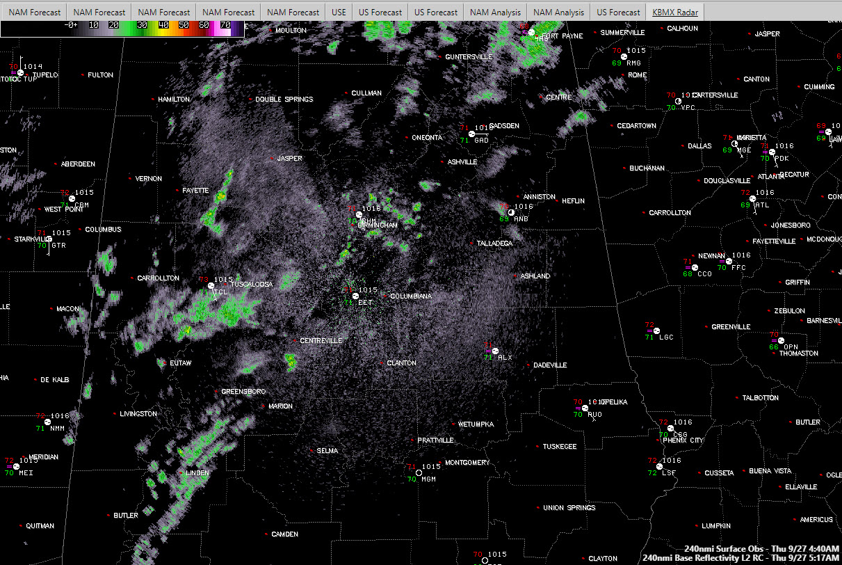
Here is the current radar in the large pane, with lightning and observations. There is no lightning being observed at the early hour.
It looks like the rainfall will come in at least two waves, the first this morning, with another this evening. There could be some thunder, especially with this morning’s batch of showers as there will be some instability. Precipitable water values remain high and this could produce decent amounts of rain. Relatively strong mid-level and upper-level winds will help enhance the precipitation production. You won’t really feel those winds at the surface, although there could be an occasional gust or two.
Rainfall amounts of 1-3 inches are expected across the flash flood watch area today and into this evening. I would expect them to be on the lighter side of that, but a few spots could see the higher totals. The Euro is certainly more bullish than the GFS with over 2 inches for Birmingham as opposed to less than an inch on the GFS. Falling on top of fairly saturated soils, this could cause flash flooding.
In addition, the wet ground makes it easy for trees to topple over. Matt Teal from the Cherokee County EM was just reporting a tree down on County Road 275.
A stationary front lies across West Central and North Central Alabama this morning. That front is expected to push southeast of I-59 on Friday, putting an end to the rain. High pressure will build back for the weekend, setting the stage for some nice late September weather. Saturday should be dry and warm but still a little humid. A few showers will work their way back into the forecast by late Sunday, but rain chances will be low into midweek next week.



