


A mix of sun and clouds is across Alabama on this Sunday afternoon. Here is the visible satellite imagery as of this hour:
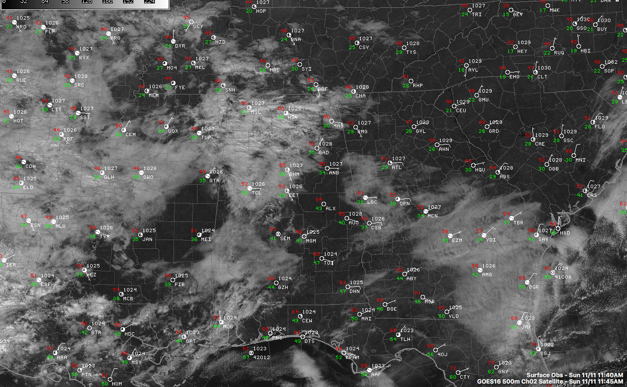
Temperatures are in the lower and middle 50s now across Central Alabama. Highs will be in the middle and upper 50s except over the northwest part of the state. Lows tonight will be in the 40s.
A few light showers are moving across Northwest Alabama, but much of the precipitation is not reaching the ground. Rain is increasing across Central Louisiana and southwestern Mississippi. A trough wsinging through the Rockies will help spin up weak low pressure over the western Gulf that will move west-northwestward through tomorrow, tracking along the Gulf Coast.
Rain will spread into western Alabama tonight and become widespread across the state during the morning. Instability will increase during the afternoon and embedded thunderstorms will form. They will mainly be based above the surface and won’t become severe across Central Alabama. There is a marginal risk of severe weather over far South Alabama. Highs tomorrow will be in the upper 40s and lower 50s.
Rainfall amounts should be generous, averging 1-2 inches across Northwest Alabama, 2-3 all through the I-59 Corridor and 3-4 inches over South Alabama.
It will turn colder on Tuesday. There are now increasing indications that an upper low will form to our west and push east on Wednesday. This upper low would produce rain again Wednesday night into early Thursday. The threat of any wintry weather looks very small except over western Tennessee and perhaps northwestern Mississippi. Rainfall amounts over Alabama could approach 0.35 inches.



