


As of 11:35 am, the line of strong to severe storms have pushed halfway through the state of Mississippi and is making its way out of the state of Arkansas as I type. While there are no active tornado warnings with the line at the moment, we have seen a few already this morning for locations in Louisiana and just north of Jackson in Mississippi.

A Tornado Watch continues in effect for the east and southeastern parts of Louisiana and the southwestern parts of Mississippi until 6:00 pm this evening.
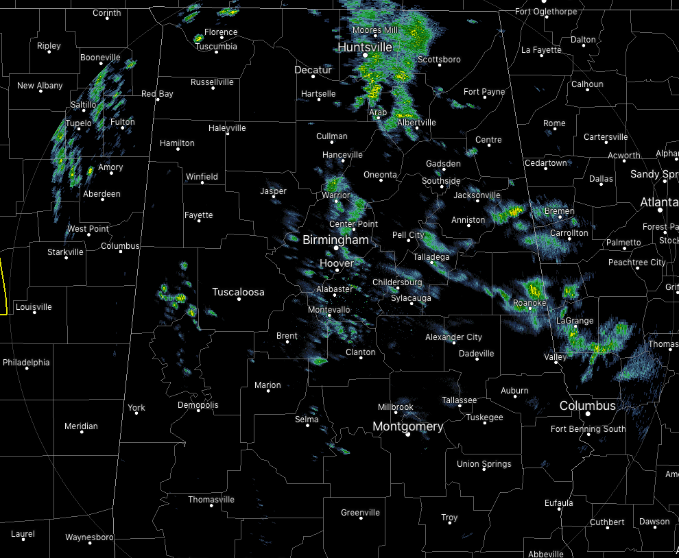
The good news is that we are not seeing that much in the way of rainfall across North and Central Alabama as we make the run up to midday. We have a few widely scattered showers across the area, but most of these are of the light variety. All of the activity continues to push off to the northeast at around 40 MPH.
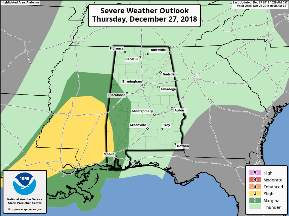
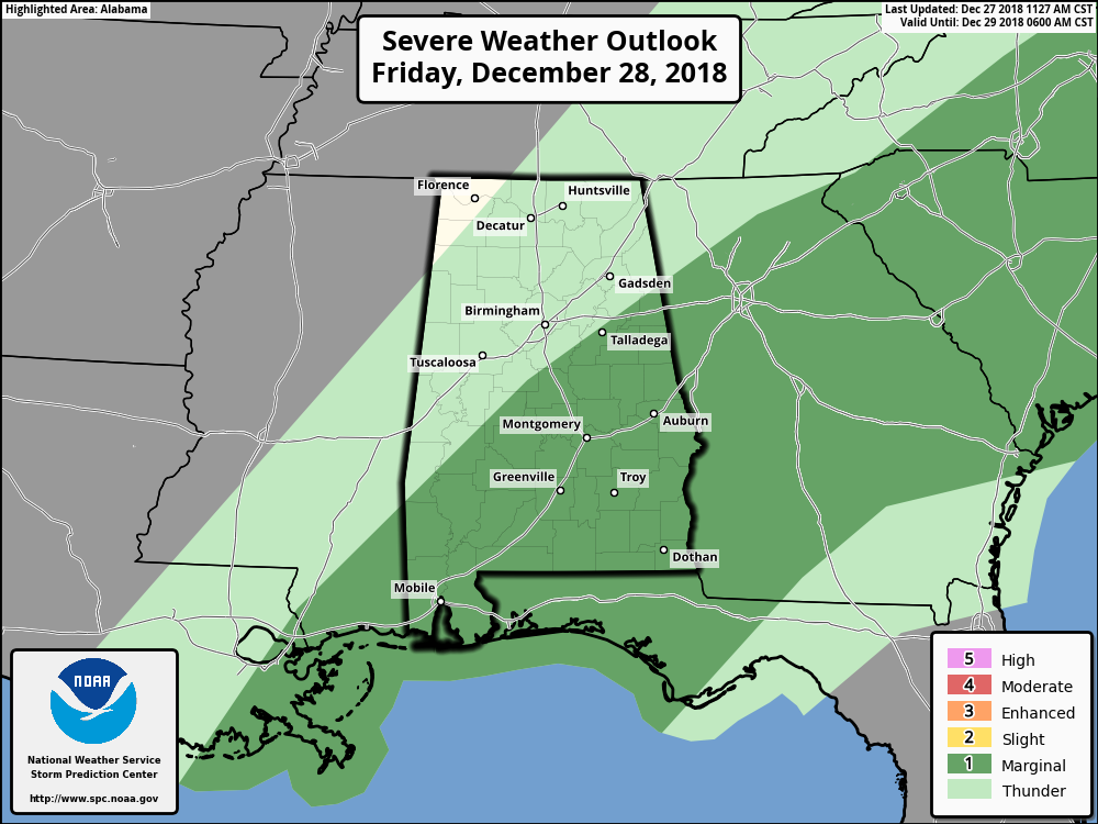
While the Day 1 Severe Weather Outlook from the SPC remains the same throughout the remainder of today, they have now defined a good portion of the east and southeastern parts of the area in a Marginal Risk for severe storms on their Day 2 Severe Weather Outlook, valid from 6:00 am Friday to 6:00 am Saturday. The overall risk of severe weather is rather small, with a few isolated damaging wind gusts possible, along with 1 or 2 brief spin-up tornadoes along the line of storms.
So now we extend the window for strong to severe storms from 10:00 pm tonight through 6:00 pm on Friday. The stronger storms should stay confined to the area along and south of I-20 throughout the event, but one or two storms may need a Significant Weather Advisory issued for the threat of strong winds up to 50 MPH.
We’ll already have strong winds in place throughout the day today as we’ll see winds in the 15-25 MPH range at times, with occasional gusts up to 35 MPH. Therefore, a Wind Advisory is in effect for all of the North Alabama counties and nearly all of the Central Alabama counties until 12:00 am Friday. These winds alone have the possibility of knocking down some tree limbs and smaller trees when the ground becomes more saturated. Also, any unsecured outdoor furniture and empty containers may be blown around your property.

We also have A Flash Flood Watch in effect for all of North Alabama until 9:00 am Friday, and for nearly all of the Central Alabama counties until 6:00 pm Friday. Latest WPC projections continue to show rainfall totals across the area around 2.00 to 3.50 inches by the end of Friday. Flash flooding could occur with the heavier amounts of rain that will fall with the main line of storms this evening through Friday morning, especially in low-lying areas and locations that are known to not drain well. Be smart… don’t drive across flooded roadways. You will not only be putting your life in danger but those of anyone who will have to come to your rescue if you become stranded in those waters.
We’ll continue to keep you posted throughout the day and through tomorrow on the AlabamaWx Weather Blog.



