


NWS Huntsville has allowed the Wind Advisory to expire for all of its counties in North Alabama. Pressure gradient winds have now lessened below advisory criteria.
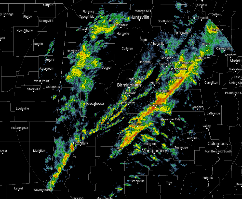
At 6:10 pm, the heaviest band of rain stretches from Piedmont southwestward through Sylacauga and Billingsley. The good news is that there is no lightning or any strong storms. There is another lighter band of shower activity several miles behind the main band and then some scattered light to moderate showers over the northwestern locations in the area. Individual cells are moving to the northeast very quickly at 60-70 MPH but as a whole body is only moving eastward slowly.
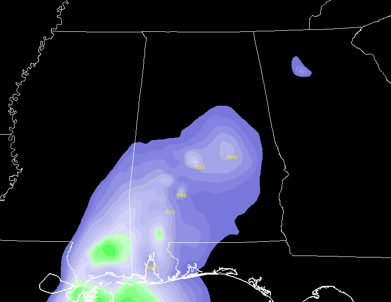
Instability is now limited to the south and the southwestern parts of the state, and if there are any claps of thunder to occur that are not related to fireworks being fired off, it would be in those locations. With the dynamics continuing to lift to the northeast well away from Central Alabama, this activity will continue to weaken throughout the evening and into the overnight hours.
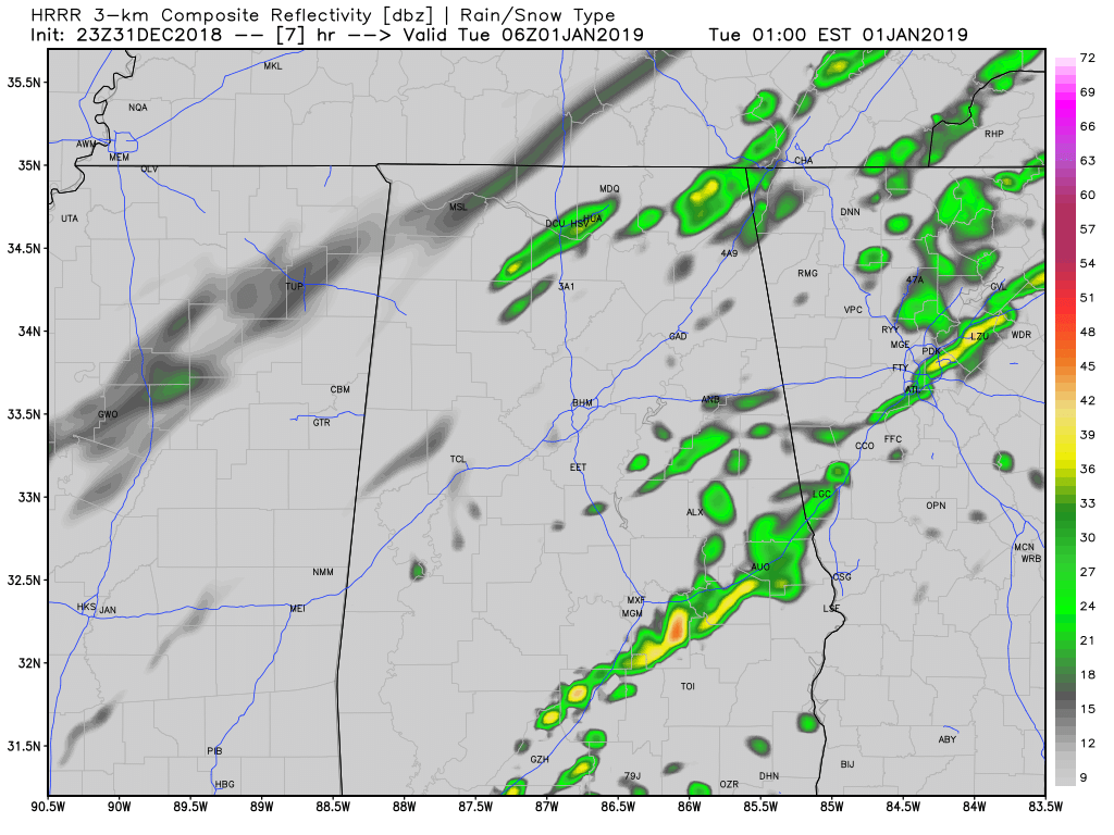
If this run of the HRRR pans out correctly, much of North/Central Alabama will be dry for the ringing in of 2019 at midnight. We’ll have a few showers out there, but nowhere near what we have seen through the afternoon hours. Temperatures at midnight should be in the mid-50s to the upper 60s across the area from northwest to southeast. We’re looking at around 55 degrees in Birmingham.
Roads will be wet out there tonight, so if you are going to be out and about, please be safe and don’t drink and drive. Leave plenty of space in between you and the next car and don’t speed. Arrive alive.
Have a great evening!



