


As of 5:05 pm, the first batch of thunderstorms are beginning to move out of the area in the northeastern parts of the state, but the next batch with the potential of tornadoes and damaging winds will begin to move into the western parts of the state within the next hour or so.
We continue to have a risk of severe thunderstorms across the northern parts of the state west of the I-59 corridor for the rest of the evening. We’ll continue to have a higher threat for tornadoes over the west and northwestern parts especially west of a line from Tuscaloosa to Jasper to Ardmore.
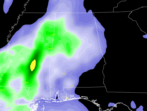
Instability continues to be high over the west and northwestern parts of the state, topping out around 1500 J/kg on the AL/MS state line… this is due to the lull between the two batches of storms. To go along with that, temperatures have already rebounded back into the mid-60s to the lower 70s over the northwestern parts of the area.
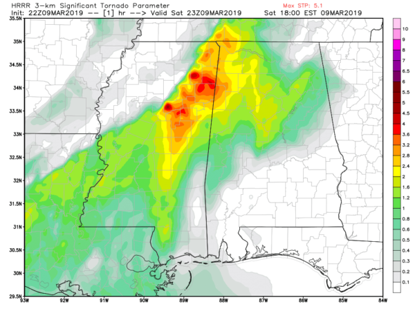
According to the HRRR, STP values are maxed out along the state line as of now, topping out around at 5.1. The good news is that those values start to drop rapidly throughout the next few hours. Helicity values will continue to be over 350 m2s2 for several more hours. So the threat for tornadoes will continue for at least the next 2-3 hours. After that, the threat lessens but a brief spin-up may be possible through the rest of the evening until the severe storm threat ends around 3:00 am CDT Sunday.
We’ll continue to have updates through the rest of the day.



