Thunderstorms continue over Northwest Alabama in the vicinity of a boundary over northern Mississippi and southern Tennessee.
The storms are being fed by warm, moist air to the south of the boundary. Instability values are strong with CAPEs approaching 2500 joules/kg. Dewpoints have mixed down with the heating of the day, but are still running in the lower and middle 60s.
Bulk wind shear values have increased over Northwest Alabama and this is helping the storms gain organization. Low and mid-level lapse rates are strong, and this is allowing for some larger hail.
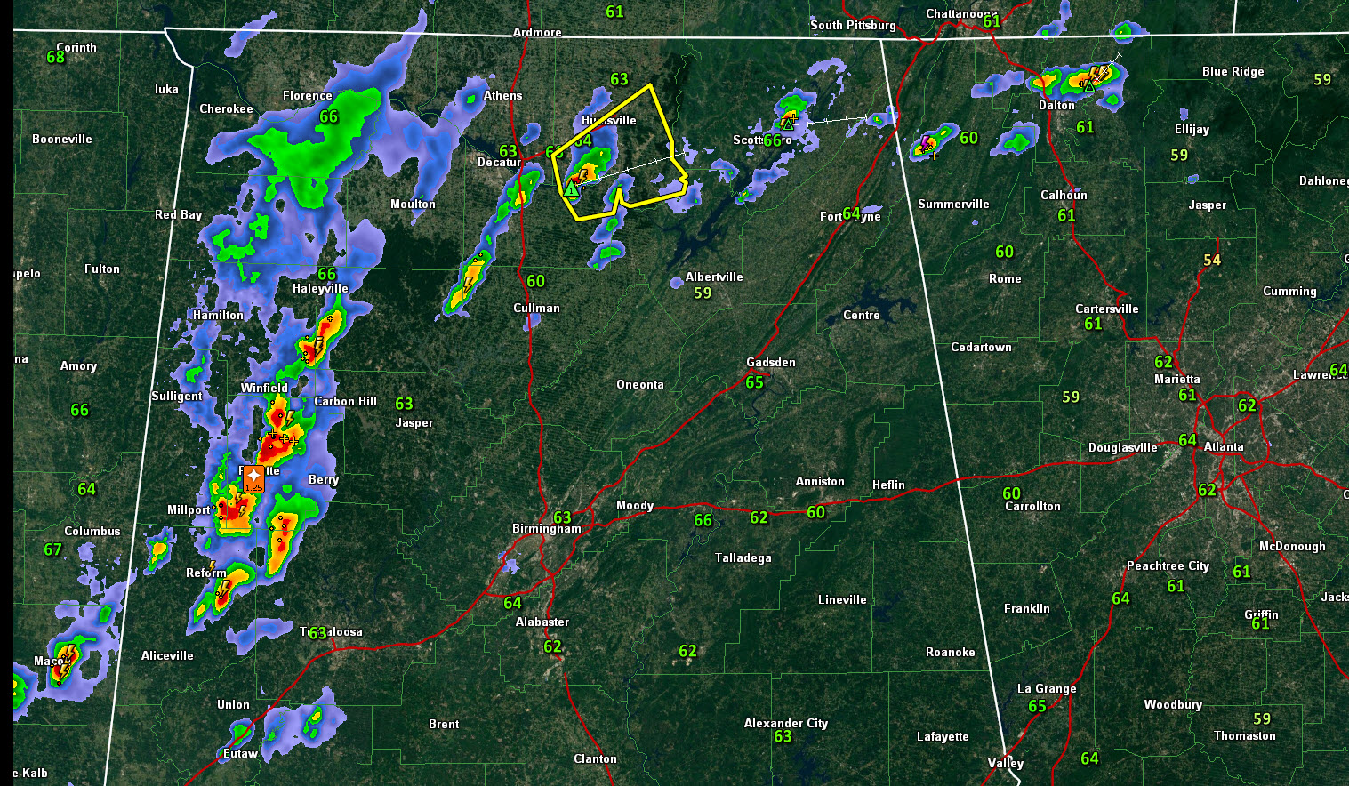
At 4:25 p.m., the strongest storms were over Fayette County, with a hail core passing just west of downtown Fayette. Half dollar sized hail was reported just south-southwest of Fayette at 4:14 p.m. Another cell is just southwest of Fayette. It is not as strong but will bring small hail, gusty winds, heavy rain and lots of lightning to the city of Fayette.
The warning for Fayette County is being allowed to expire but the storms should still be taken seriously.
Strong storms extend from Noxubee County, Mississippi through Pickens, northwestern Tuscaloosa, Lamar, Fayette, Marion, and Winston Counties. All of the storms are producing lots of lightning, heavy rain, gusty winds, and small hail. They will continue to intensify as they move north northeast into better wind shear.
To the north, a severe thunderstorm warning continues for Morgan and Madison Counties. The severe storm is near Triana, headings towards Owens Crossroads. It contains 1-inch hail.
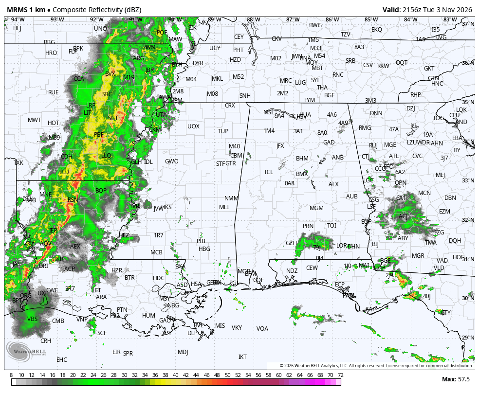
Powerful storms are coming through Central Louisiana and Northeast Texas at this hour. They will cross the state of Mississippi, where a severe thunderstorm watch is in effect. Tehy will reach West Alabama after midnight. Tentative timing shows them reaching Tuscaloosa between 2-4 a.m., Birmingham between 4-6 a.m., and Anniston/Gadsden between 6-8 a.m. They should be weakening by the time they arrive in Alabama, but they will bear watching.