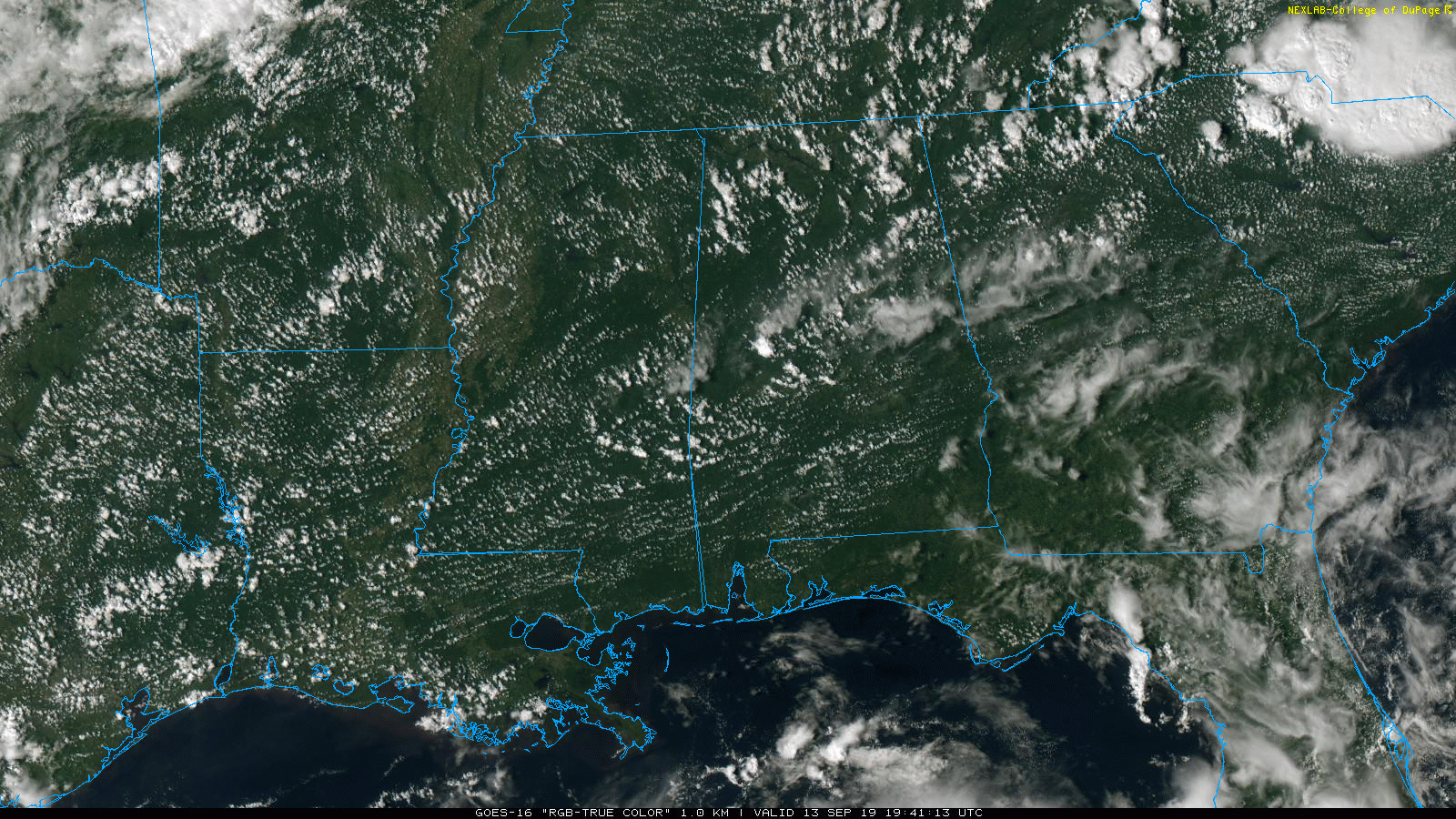
TOO HOT: Temperatures are generally in the mid to upper 90s across Alabama this afternoon. Birmingham reports 97 degrees at 2:30p CT… one degree away from the record high for September 13, 98 set in 1927. There are few showers and storms on radar, but they are widely separated, and will dissipate once the sun goes down later this evening.
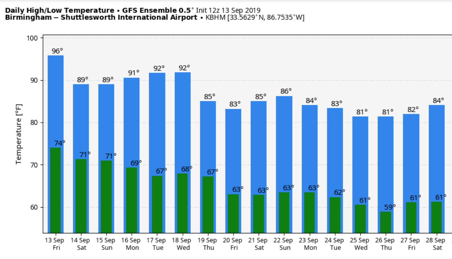
THE ALABAMA WEEKEND: The upper ridge responsible for the heat will weaken over the weekend, meaning lower heat levels. The high tomorrow will drop into the 88-92 degree range, and scattered showers and thunderstorms should be more numerous. Then, Sunday looks mostly dry with a good supply of sunshine along with a high in the low 90s.
NEXT WEEK: A dry airmass will be in place across Alabama, meaning mostly sunny days and fair nights Monday through Wednesday with highs in the low 90s. A few scattered showers and storms are possible late in the week, but for now widespread rain is not expected. See the Weather Xtreme video for maps, graphics, and more details.
RAIN UPDATE: Birmingham’s rain total for the year is 36.72”, the deficiency is 1.92”. The new U.S. drought monitor released yesterday shows a decent part of East Alabama in drought conditions; West Alabama is in much better shape.
FOOTBALL WEATHER: The sky will be mostly fair tonight for the high school games across the state with temperatures falling from the upper 80s at kickoff, to near 80 by the final whistle.
Tomorrow afternoon Alabama will play South Carolina in Columbia (2:30p CT kickoff)… the sky will be partly sunny with a kickoff temperature near 89 degrees, falling into the mid 80s by the fourth quarter. A brief shower or storm can’t be ruled out, but they should be widely spaced.
Auburn will host Kent State tomorrow evening at Jordan-Hare Stadium (6:00p CT kickoff)… just an outside risk of a shower during the first half, otherwise mostly fair with temperatures falling from around 90 at kickoff, to near 80 by the end of the game.
Jacksonville State will host Eastern Washington tomorrow afternoon (3:00p CT kickoff)… a passing shower or storm is possible during the game, otherwise partly sunny with temperatures falling from the upper 80s at kickoff into the mid 80s by the final whistle.
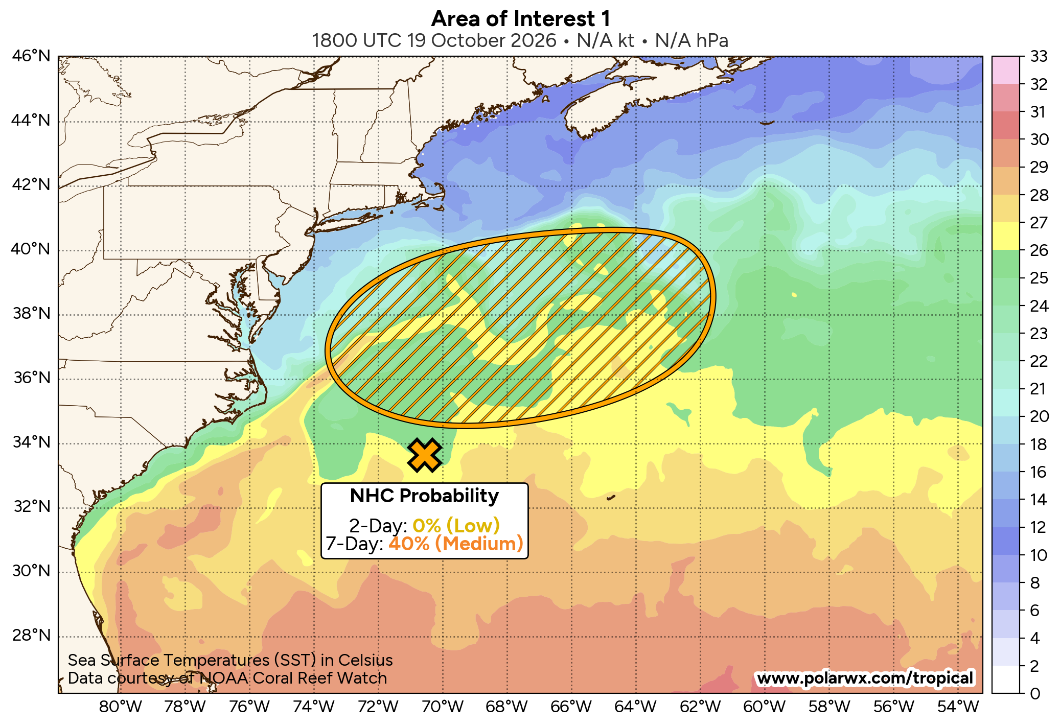
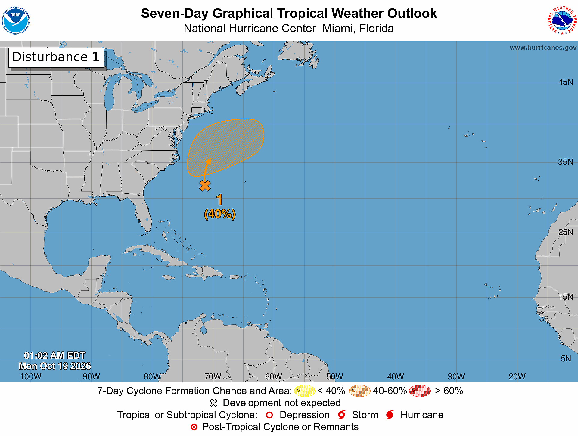
TROPICS: PTC (Potential Tropical Cyclone) Nine is forecast to become Tropical Storm Humberto within the next 24 hours; it will recurve just off the Florida east coast in coming days, and is now forecast to become a hurricane as it moves away from the U.S. by Tuesday and Wednesday of next week. This system will have no impact on Alabama.
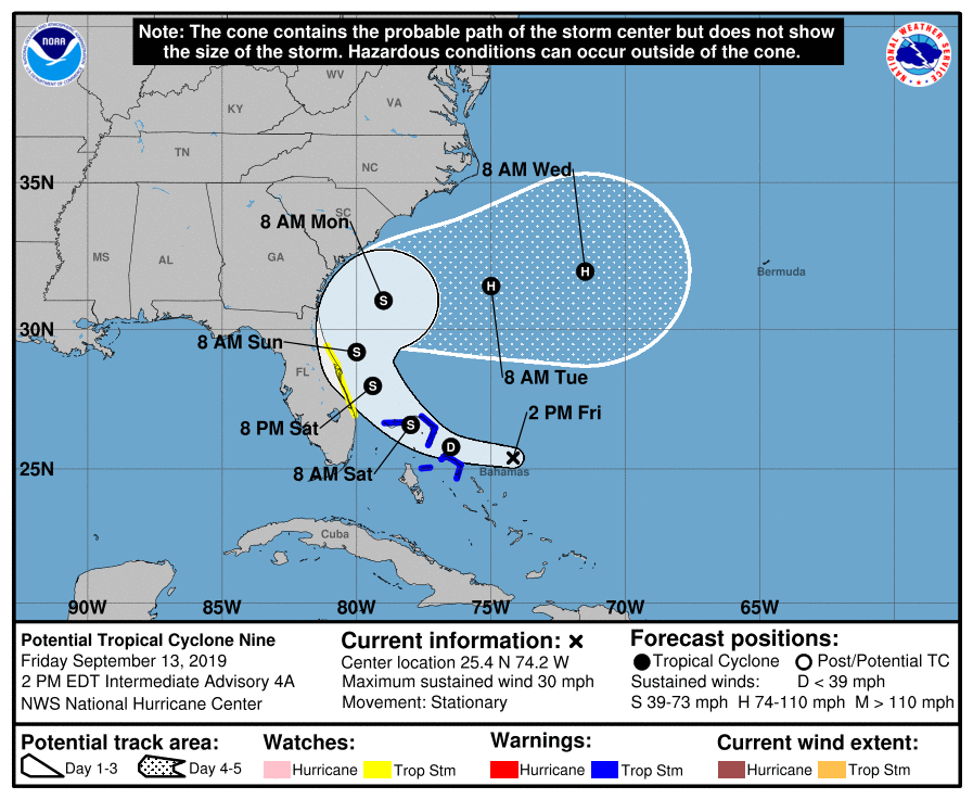
NHC is also monitoring two tropical waves in the Atlantic between Africa and the Lesser Antilles; they both have a medium chance of development over the next five days. Too early to know if they will impact the Gulf of Mexico or the U.S.
ON THIS DATE IN 1988: Hurricane Gilbert smashed into the Cayman Islands, and as it headed for the Yucatan Peninsula of Mexico strengthened into a monster hurricane, packing winds of 175 mph. The barometric pressure at the center of Gilbert reached 26.13 inches of mercury, a record for any hurricane in the Caribbean, Gulf of Mexico, or the Atlantic Ocean. Gilbert covered much of the Gulf of Mexico, producing rain as far away as the Florida Keys.
BEACH FORECAST: Click here to see the AlabamaWx Beach Forecast Center page.
WEATHER BRAINS: Don’t forget you can listen to our weekly 90 minute show anytime on your favorite podcast app. This is the show all about weather featuring many familiar voices, including our meteorologists here at ABC 33/40.
CONNECT: You can find me on all of the major social networks…
Facebook
Twitter
Instagram
Pinterest
Snapchat: spannwx
Saw a big group of home schoolers today at the Roy Downs Memorial Calera Library… be looking for them on the Pepsi KIDCAM today at 5:00 on ABC 33/40 News! My next Weather Xtreme video will be posted here Monday morning by 7:00 a.m…. enjoy the weekend!