


Latest Mesoscale Discussion from the Storm Prediction Center…
Areas affected…Far southeast Arkansas…southwest
Tennessee…northern Mississippi…northern Alabama
Concerning…Severe potential…Watch unlikely
Probability of Watch Issuance…5 percent
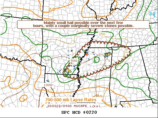
SUMMARY…Mainly small hail, with a couple stones over 1 inch in diameter, will be possible with elevated storms over the next few hours. A WW issuance is not anticipated.
DISCUSSION…Discrete cells have recently developed and intensified within a low-level WAA advection regime, atop a relatively stable boundary layer. Modest forcing for ascent, combined with very strong deep-layer shear (bulk effective shear values exceeding 50 knots) has allowed for some of the stronger cores to become organized and achieve very modest mid-level rotation. Nonetheless, the ambient environment is weakly buoyant, with poor lapse rates throughout the troposphere and only modest 925-850 mb moisture driving MUCAPE values that barely exceed 500 J/kg. While current storm structures may promote hail development, the weak mid-level lapse rates and aforementioned buoyancy suggest that most hail will be relatively small in nature, though a couple stones may briefly exceed 1 inch in diameter in the strongest, most organized storms.
The very sparse and brief nature of the severe hail threat precludes
a WW issuance.



