


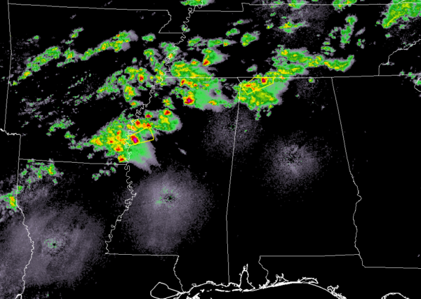
At this point, as we have reached the midnight hours and crossing over into Monday, we continue to have the strong storm pushing out of the area and will eventually be up into Tennessee within the next 15 to 20 minutes. It was located at Lexington and several miles northeast of Florence and was moving northeast at 55 MPH.
More storms are located back to the west over northern and western Mississippi that are strong to severe and we’ll need to keep our eyes peeled just in case one of these decides to become severe over the next couple of hours. Hail looks to be the main threat with any of these storms, but we can’t rule out gusty winds.
The next storm of interest is currently north of Oxford, Mississippi and is screaming eastward at 55 MPH. If it holds together, it will be crossing over into Franklin County in about 75-90 minutes.



