


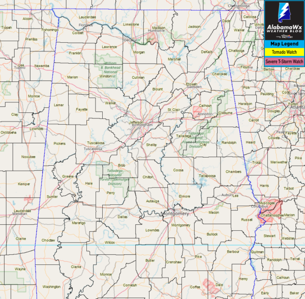
NWS Birmingham has canceled the Severe Thunderstorm Watch for the last two remaining counties as the threat for severe storms has come to an end at this point. Those last two counties were Pike and Barbour counties.
We continue to have stronger to severe storms moving through portions of North Alabama at this point, with Lauderdale, Lawrence, Limestone, and Morgan counties under a Severe Thunderstorm Warning until 7:15 PM.
Much of the northern half of the state remains very unstable as there has been no rain over most of these parts throughout the day. Instability values remain in the 2000-3000 J/kg range and are only expected to drop into the 1500-2500 J/kg range before the cold front starts to move in later tonight.
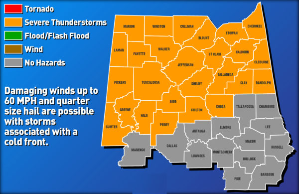
Hazardous Weather Outlook valid Thursday 2:00 am through 9:00 am.
At this point, there is really no change in the forecast for the overnight and into the morning hours on Thursday. More thunderstorms are expected to move in and potentially could become strong to severe as our environment will remain unstable. Once again, damaging winds up to 60 MPH and some quarter-size hail will be the main threats, while the tornado threat is very very low but not zero.
Stay tuned… while there is a break… it’s not over yet.



