


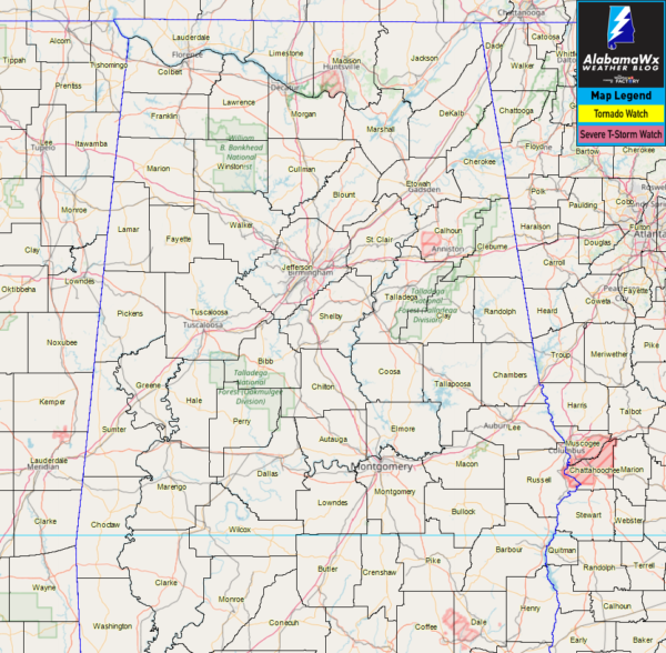
As of 3:00 am, NWS Huntsville has canceled the Severe Thunderstorm Watch for all of North Alabama as the threat of severe storms have moved south of those locations.
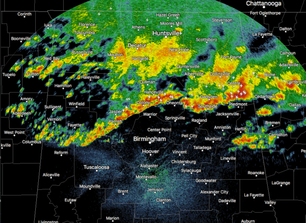
The ragged line of storms continues to push to the east-southeast through the northern portions of Central Alabama. The good news is that all of the storms are well below severe limits and the threat of any storms to grow severe are pretty low, but still possible.
Instability continues to drop at this time and is only maxing out at 500 J/kg across the northern parts of Central Alabama. While bulk shear remains in the 60-70 m2/s2 range, the potential for gusty winds and an isolated damaging wind gust up to 60 MPH are still possible, but not likely.
We’ll continue to be here with any updates.



