


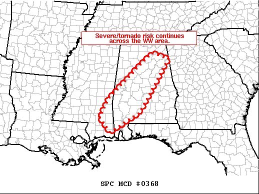
Here is the text from the latest Mesoscale Discussion from the Storm Prediction Center.
SUMMARY
Severe/tornado risk continues across Tornado Watch 110.
DISCUSSION
The latest radar loop shows a couple of rotating cells moving east-northeastward across the northwestern corner of the tornado watch at this time — i.e. Greene/Sumter County area in Alabama. The broader band of convection that includes these storms extends south-southwestward into eastern Louisiana, where a few well-organized storms are occurring. This convection will spread into western portions of tornado watch #110 over the next hour — sustained by an axis of 1500 to 2000 J/kg mixed-layer CAPE (instability) over the southwestern corner of Alabama. Given the background kinematic environment that remains strongly supportive of supercells, severe risk — including potential for tornadoes — continues.



