The latest Mesoscale Discussion from the Storm Prediction Center:
The severe weather threat for Tornado Watches 109 and 110 continues.
SUMMARY
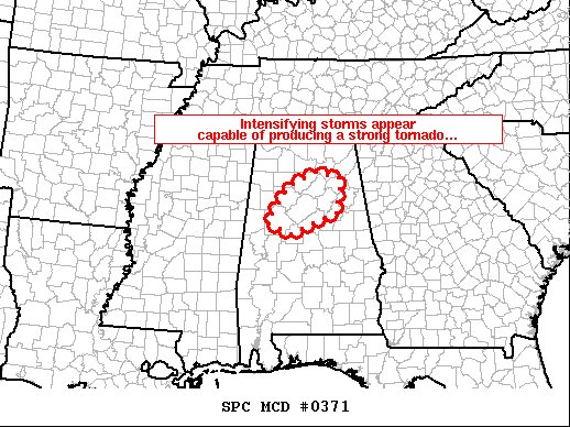
Storms are intensifying as they move into central Alabama, with local enhancement to the tornado risk evident.
DISCUSSION
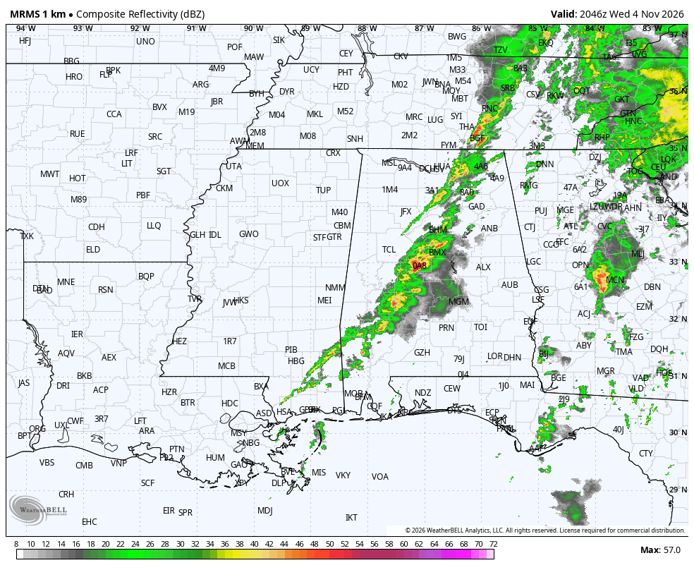
Latest radar loop shows a couple of storms intensifying within the broader north-northwest to south-southeast band of storms crossing Alabama and southeast Mississippi. The two strongest storms — one moving into Cullman County and the other crossing Tuscaloosa county — appear most intense at this time, with the southern storm likely having produced a tornado recently (70 kt rotational velocity and a small CC minimum have been observed within the past 15 minutes). As this storm continues moving north-northeastward, through the very favorable thermodynamic and kinematic environment that remains in place, the potential for a strong tornado and/or damaging wind gusts has increased for areas near and northwest of Birmingham.