


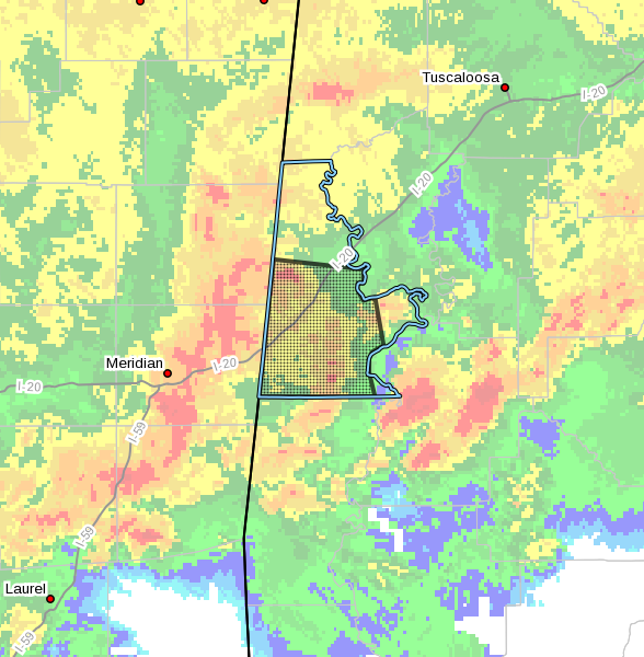
The National Weather Service in Birmingham has issued a
* Severe Thunderstorm Warning for…
Sumter County in west central Alabama…
* Until 545 PM CDT.
* At 508 PM CDT, severe thunderstorms were located along a line
extending from near Boyd to Alamucha, moving east at 85 mph.
HAZARD…60 mph wind gusts and nickel size hail.
SOURCE…Radar indicated.
IMPACT…Expect damage to roofs, siding, and trees.
* Locations impacted include…
Livingston, York, Cuba, Epes, Boyd, The University Of West Alabama,
Bluffport, Coatopa, Dug Hill, Kinterbish, Old Mallard Airport,
Lilita, Bellamy, I 20 Welcome Center At Cuba, Ward, Whitfield and
Payneville.
PRECAUTIONARY/PREPAREDNESS ACTIONS…
A Tornado Watch remains in effect until 1100 PM CDT for southwestern
and west central Alabama.
For your protection move to an interior room on the lowest floor of a
building.



