


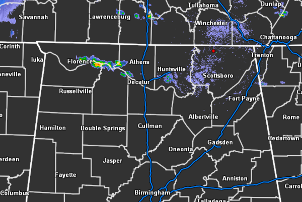
As of 5:00 pm, we have some scattered showers that have formed over and just to the north of the Tennessee River in the northwestern parts of North Alabama with a few lighter showers in the southern parts of Madison County. With these showers and storms being sustained for a while now, NWS Huntsville believes that the cap has been broken and storms will be expected to mature and become strong. Gusty winds and hail may be possible.
There is some concern with the placement of these storms with a stalled boundary over the Tennessee Valley of Alabama. There is enough ingredients to support a tornado or two, but that is not likely and is localized along the boundary.
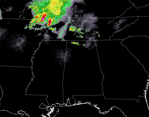
If the path of the storms taking place over Missouri bootheel doesn’t change drastically in direction or speed, we could see those arrive in the northeastern parts of North Alabama sometime between 8:00 pm and 10:00 pm.
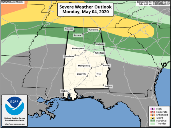
We’ll have to watch for the development of storms over North Alabama from now 11:00 pm tonight as there is a LEVEL 1 MARGINAL RISK for severe storms in place for all of North Alabama and the extreme northern parts of Central Alabama, while a LEVEL 2 SLIGHT RISK is up for the extreme northern parts of Jackson County. The main focus to start will be on the scattered thunderstorms that form, then it will shift to the MCS sweeping through Tennessee and possibly into North Alabama.



