


Tropical Depression Eight
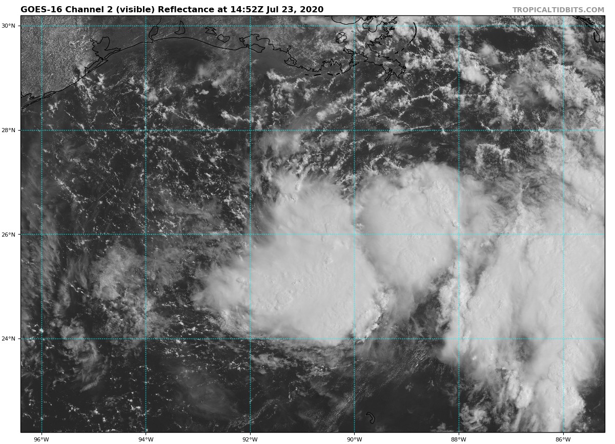
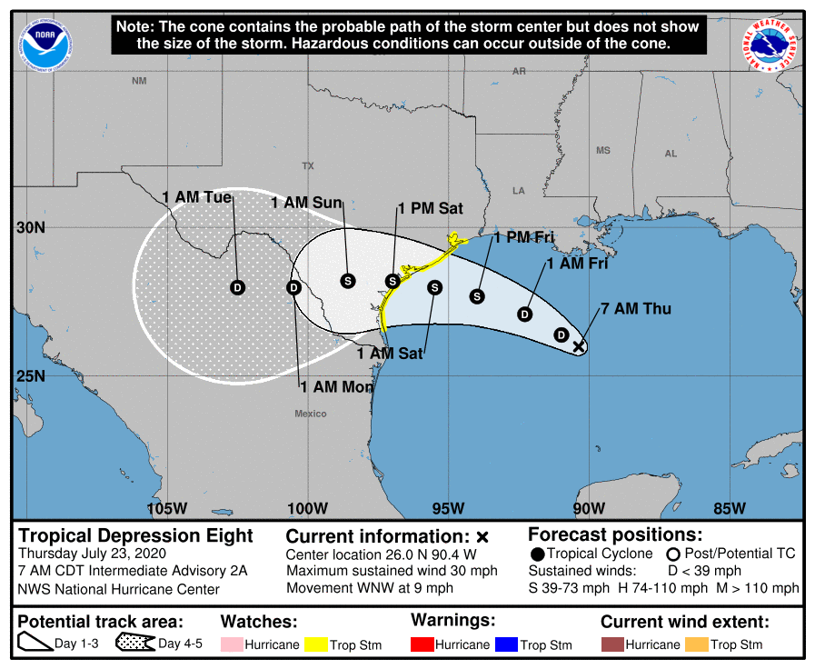
As of the 10:00 am update from the National Hurricane Center, TD-8 was located about 380 miles to the east-southeast of Port Connor, Texas, and was moving to the west-northwest at 9 MPH. Maximum sustained winds were at 35 MPH and the minimum central pressure was down to 1007 MB or 29.74 inches.
A Tropical Storm Watch has been issued for portions of the Texas Gulf Coast from Port Mansfield to High Island.
On the current forecast track, the center of the depression is expected to move across the northwestern Gulf of Mexico today and Friday and make landfall along the Texas coast on Saturday.
Slow strengthening is expected, and the depression could become a tropical storm during the next 12 to 24 hours. An Air Force Reserve Hurricane Hunter aircraft is currently en route to investigate the depression.
Tropical storm conditions are possible within the watch area by Friday night.
The tropical depression is expected to produce 3 to 5 inches of rain with isolated maximum totals of 8 inches through Monday along the Gulf Coast from Louisiana to the Lower Texas Coast, and inland through south-central Texas and the Rio Grande Valley. This rain may result in flash flooding, rapid rises on small streams, and isolated minor flooding across the west-central Gulf Coast and into portions of south Texas.
Swells generated by the depression are expected to increase and affect much of the Texas and Louisiana coasts in a day or two. These swells are likely to cause life-threatening surf and rip current conditions.



