


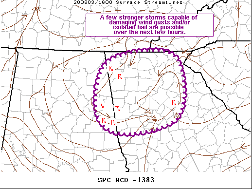
SUMMARY…A few stronger storms capable of damaging wind gusts and/or isolated hail may occur sporadically over the next few hours.
DISCUSSION…Showers and thunderstorms have recently developed in the vicinity of a weak surface low and ahead of the broad upper troughing approaching the area. The air mass is moderately unstable, promoted by ample low-level moisture and cool mid-level temperatures (12Z FFC sounding sampled -9 deg C at 500 MB). This region is also on the southern periphery of slightly stronger upper flow within the upper trough, contributing to modest vertical shear (despite very weak low-level flow). A few stronger storms have already been noted, although updraft strength within these storms quickly waned. That overall trend is expected to continue, with a more pulse-like storm mode anticipated. A few of these storms may be able to produce a water-loaded downburst as the intensity pulses. An isolated instance or two of hail is also possible.



