


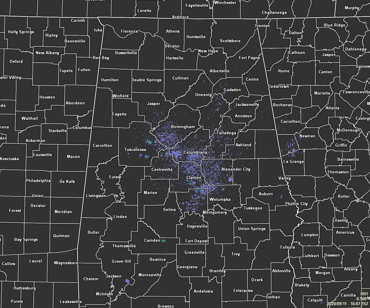
As of 11:15 am, we have partly cloudy skies across Central Alabama with nearly all of the area appearing to be dry on this latest radar image. There are a couple of isolated showers showing up over Tuscaloosa County and down over portions of Chilton and Autauga counties. We can expect the radar to show more showers and thunderstorms developing as we go through the main heating of the day. Temperatures throughout the area were in the upper 70s to the upper 80s as of the 11:00 am official roundup. Tuscaloosa was the warm spot at 89 degrees. The cool spot was Alexander City at 77 degrees. Birmingham was at 86 degrees.
As I mentioned earlier, scattered showers and thunderstorms are expected to form throughout the main heating of the day with the higher coverage along and south of a line from Demopolis to Clanton to Alexander City. The lowest rain chances will be over the extreme northwestern parts of the area. Skies will be partly to mostly cloudy and highs will reach the upper 80s to the lower 90s across the area. For tonight, we may have a few showers lingering through the late night and into the overnight hours. Otherwise, skies will be partly cloudy with lows in the lower to mid-70s.
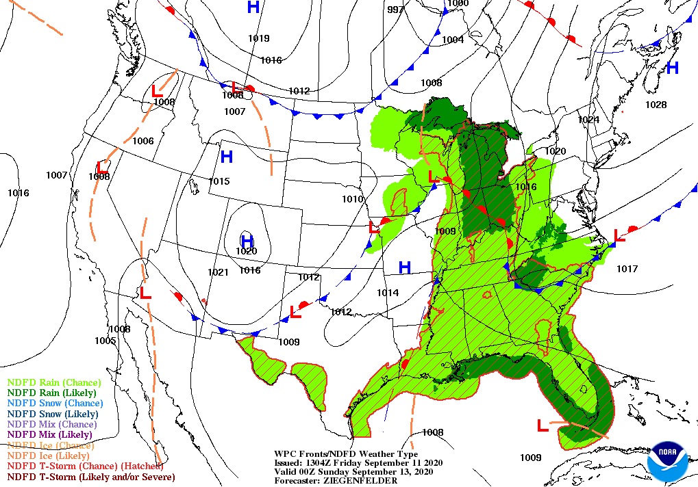
An influx of moisture will have shower and thunderstorm chances like throughout mostly through the afternoon and evening hours on Saturday, but showers and storms will be possible during the morning hours as well. Otherwise, skies will be mostly cloudy to cloudy, and highs will be in the mid to upper 80s. While severe storms are not expected, don’t be surprised to see a storm or two to become briefly strong with gusty winds, heavy rain, and intense cloud-to-ground lightning.
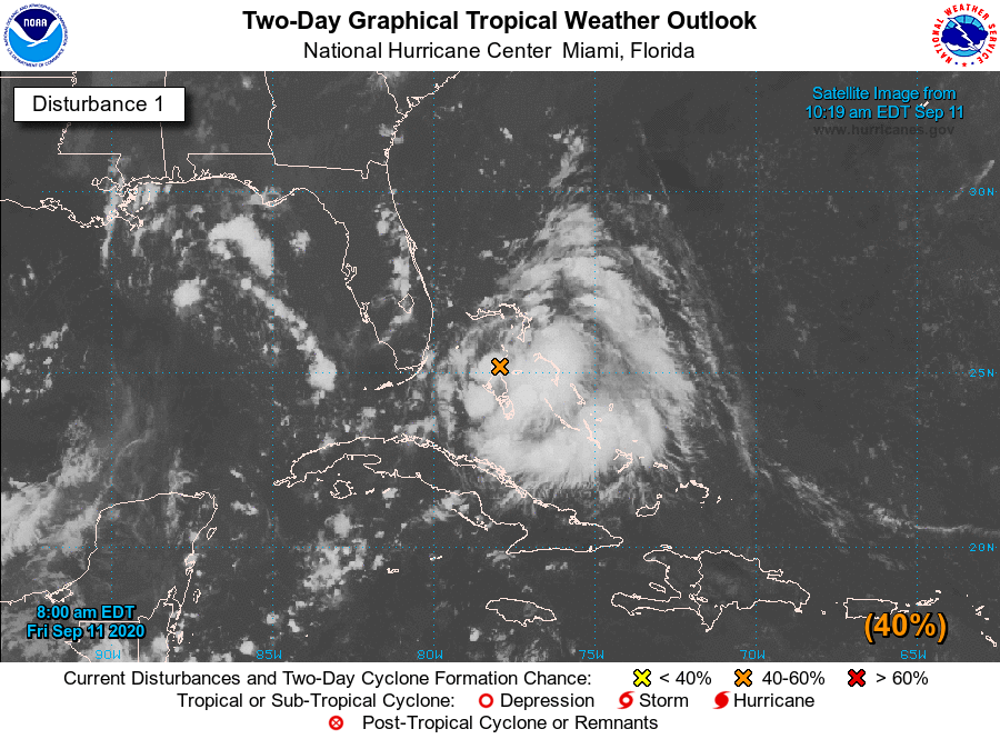
Look for our updates on the tropical weather throughout the day, especially since there is the potential of a tropical depression forming over the Gulf of Mexico within the next few days. Read the latest on Invest 96L HERE.



