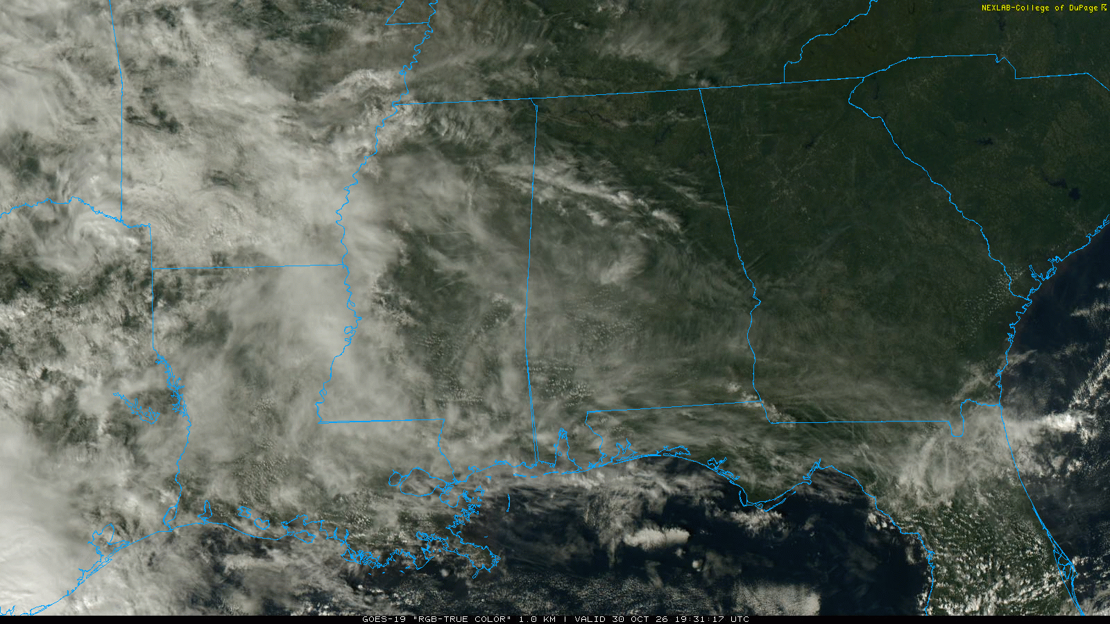
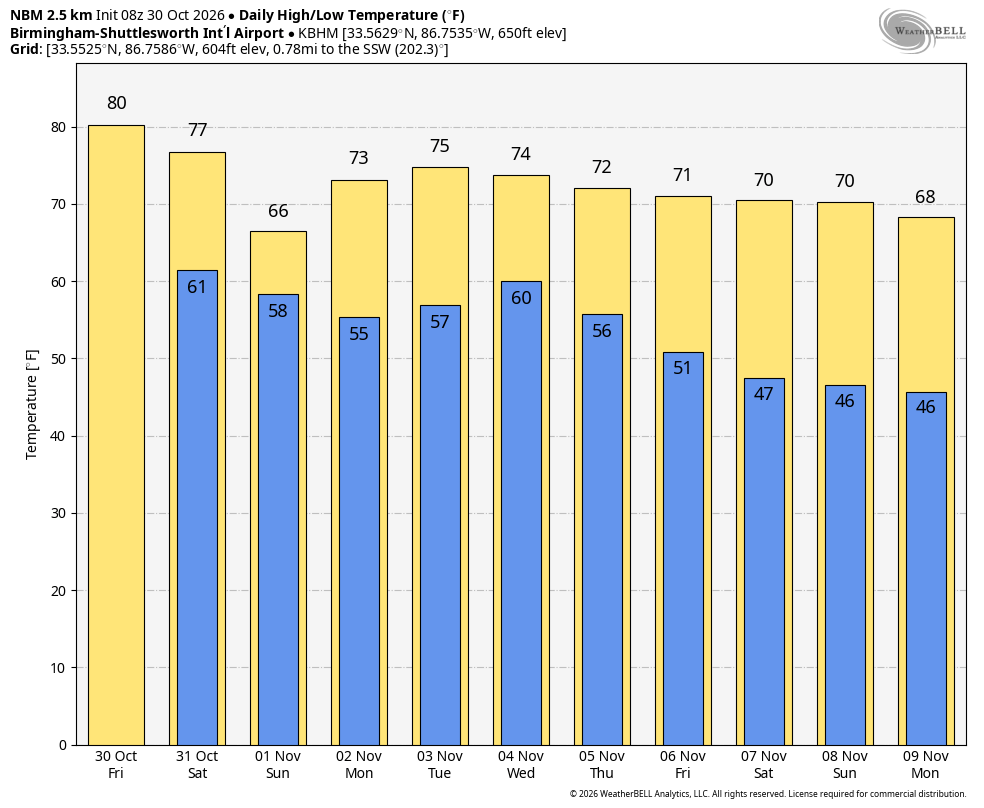
Severe thunderstorms are approaching Marion County at this hour.
There is a good chance of damaging winds. A tornado watch is also in effect and tornadoes are possible as well.
The National Weather Service in Birmingham has issued a
* Severe Thunderstorm Warning for…
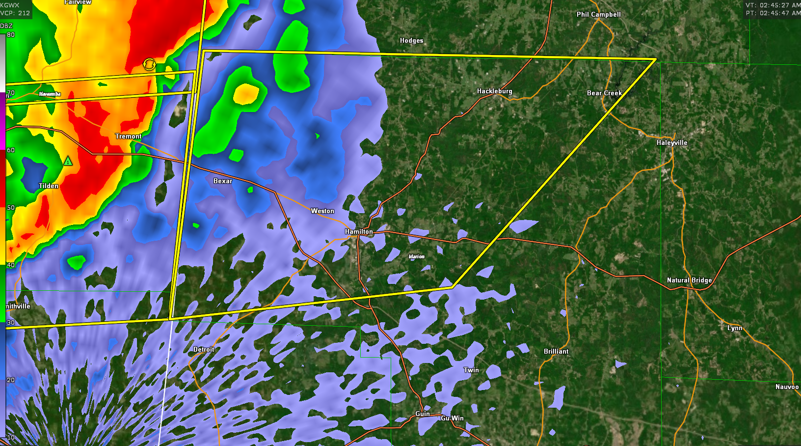
Northern Marion County in northwestern Alabama…
* Until 330 AM CDT.
* At 245 AM CDT, severe thunderstorms were located along a line
extending from near Red Bay to near Tremont to near Smithville,
moving east at 55 mph.
HAZARD…60 mph wind gusts.
SOURCE…Radar indicated.
IMPACT…Expect damage to roofs, siding, and trees.
* Locations impacted include…
Hamilton, Hackleburg, Weston, Brinn, Bear Creek, Tessner, Byrd,
Bexar, Pigeye, Shottsville, Rankin Fite Airport and Upper Bear
Creek Reservoir.