


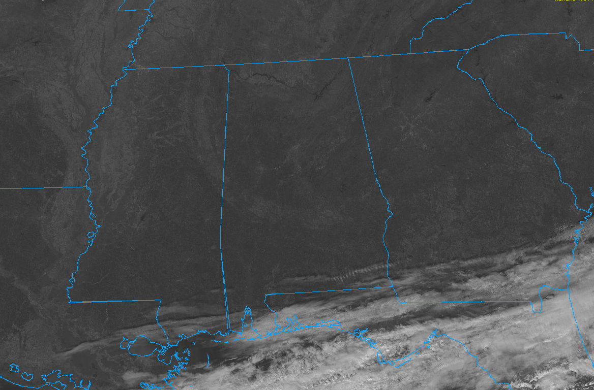
A cool, dry airmass covers much of the eastern United States at the noon hour on this late fall Sunday.
The cold front lies along the Gulf and Southeast Coasts of the United States. It extends from near Houma LA to Appalachicola FL to Brunswick GA.
Behind the front, dewpoints are in the 20s, 30s, and 40s. Ahead of it, a tropical airmass remains across the Florida Peninsula, with dewpoint readings in the upper 60s to near 70F.
Over Alabama, precipitable water values are running less than 20 percent of normal. The result is bright blue, clear skies.
Temperatures are warming out of the upper 40s over North Alabama. In the I-20 Corridor, they are in the lower 50s, with middle and upper 50s over South Central Alabama.
No clouds are threatening to encroach on our clear skies this afternoon. The next time we are likely to see clouds are when a few cumuli start appearing late tomorrow morning. Tonight will be chilly again, with lows ranging between 36 over Northeast Alabama, to the low 40s from Hamilton to Birmingham to Auburn, to upper 40s over South Alabama. The warmer readings are the beginning of a warmup that will roll through the week, with southeasterly winds pumping in relatively warm and moist air.
The next rain chances come late next Thursday, and the chances will be only slight through Friday. Better rain chances for Saturday and again starting Sunday night.
Temps will be warm this week, with highs rising from 63F Monday to 68F Tuesday, to 70F on Wednesday, and 72F on Thursday.



