


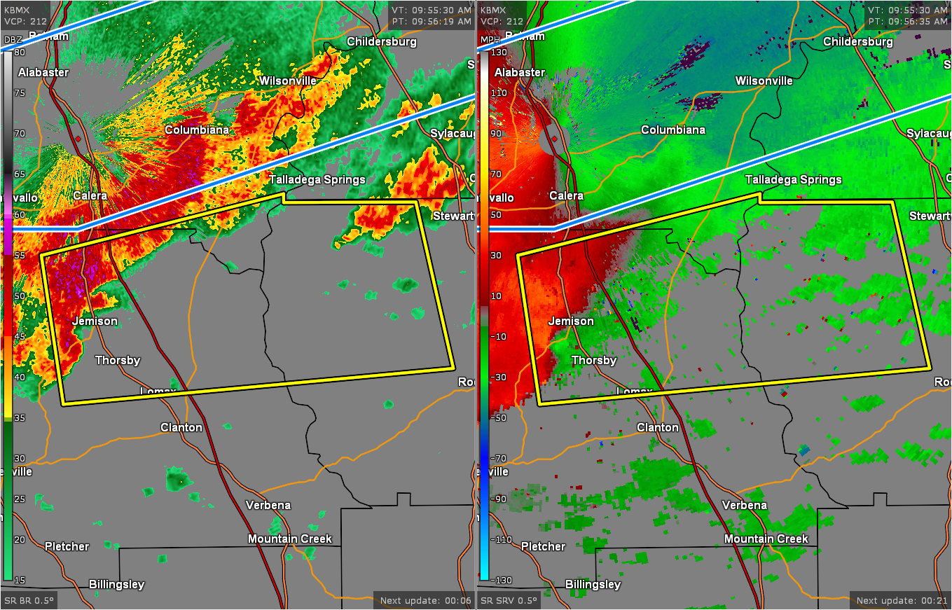
The National Weather Service in Birmingham has issued a
* Severe Thunderstorm Warning for…
Northeastern Chilton County in central Alabama…
South central Shelby County in central Alabama…
Northwestern Coosa County in east central Alabama…
* Until 1045 AM CST.
* At 957 AM CST, a severe thunderstorm was located over Jemison,
moving east at 40 mph.
HAZARD…60 mph wind gusts and penny size hail.
SOURCE…Radar indicated.
IMPACT…Expect damage to roofs, siding, and trees.
* Locations impacted include…
Clanton, Jemison, Weogufka, Thorsby, Gap Of The Mountain,
Strickland Crossroads, Lay Lake Dam, Unity, Marble Valley, Moriah,
Lay Lake, Mitchell Lake, Minooka Park, Waxahatchee Creek, Highway
145 and CR 46, Paint Creek, I 65 Rest Area, Spring Creek and Lomax.
PRECAUTIONARY/PREPAREDNESS ACTIONS…
For your protection move to an interior room on the lowest floor of a
building.



