


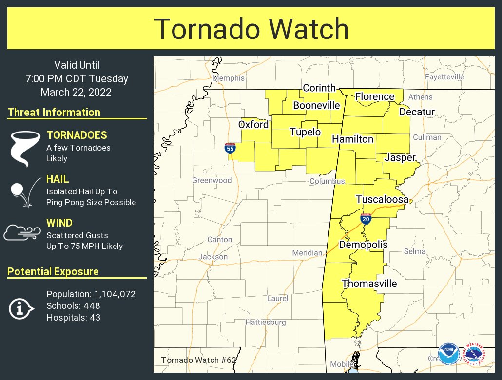
The Storm Prediction Center has issued a Tornado Watch effective immediately and is set to expire at 7 pm this evening for Fayette, Greene, Hale, Lamar, Marengo, Marion, Pickens, Sumter, Tuscaloosa, Walker, and Winston counties in Central Alabama, and for Colbert, Franklin, Lauderdale, and Lawrence counties in North Alabama.
• A few tornadoes are likely
• Isolated hail up to ping pong size possible
• Scattered damaging wind gusts up to 75 mph likely
The NWS Storm Prediction Center has issued a
* Tornado Watch for portions of
Western and northern Alabama
Northeast Mississippi
* Effective this Tuesday afternoon and evening from 1240 PM until
700 PM CDT.
* Primary threats include…
A few tornadoes likely with a couple intense tornadoes possible
Scattered damaging winds likely with isolated significant gusts
to 75 mph possible
Isolated large hail events to 1.5 inches in diameter possible
SUMMARY… A well-organized/fast-moving linear cluster of storms will
continue east-northeastward into northeast Mississippi and
western/northern Alabama as the downstream air mass otherwise
continues to moisten and destabilize. A few semi-discrete supercells
could also form ahead of this line of storms, which would
potentially pose a heightened tornado risk, perhaps especially
across far western Alabama this afternoon.



