


The storms now over North Alabama will continue dropping southward according the the NSSL-WRF model, which is the only one that seems to have a real handle on them.
There will feed on decent instability as they move southward. CAPE values are over 2,000 joules/kg. SO they will still have the capacity to produce damaging wind gusts.
Here is the model’s depiction at 9 p.m. tonight. By then, the storms should be around the I-20 Corridor.
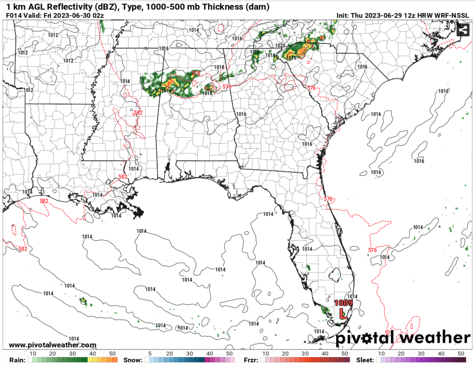
After that, they should weaken as the instability wanes.



