


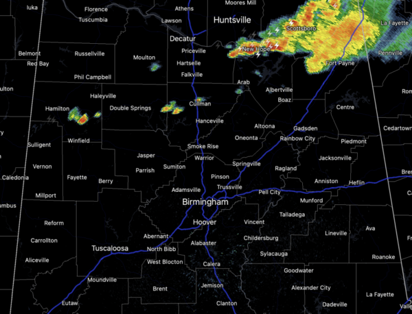
NOT AS HOT: Heat levels are lower this week across Alabama, and the forecast won’t change much the next several days. Except a mix of sun and clouds with highs in the low 90s. Each day, scattered showers and storms will develop mainly during the afternoon and evening hours. Some strong storms are possible and a few of them could become locally severe with strong, gusty winds and hail.
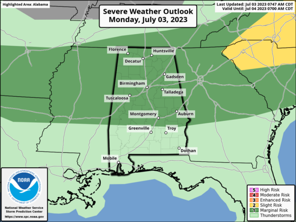
Today, tomorrow, and Wednesday, the SPC has most of Alabama outlined in “marginal risk” (level 1/5) of severe thunderstorms. The storms will be random and scattered, so it won’t rain everywhere…where the storms form they could produce strong winds and hail, and all summer storms produce tremendous amounts of lightning and heavy rainfall.
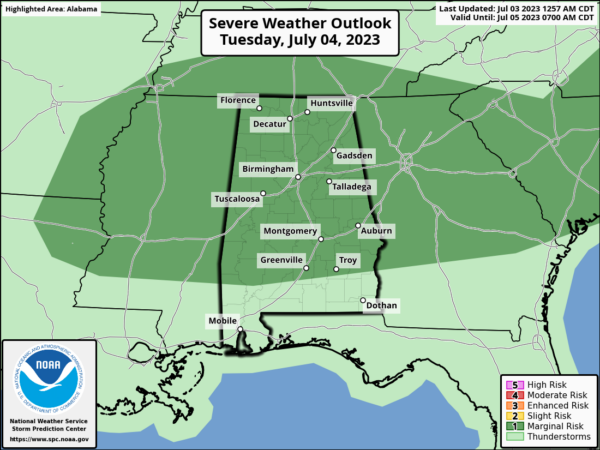
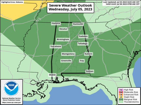
WEEKEND WEATHER: No real change. Partly sunny days with “scattered, mostly afternoon and evening showers and thunderstorms” Saturday and Sunday with highs in the low 90s. Exactly what you expect in Alabama in summer.
NEXT WEEK: We will stick with a persistence forecast. The risk of random, scattered afternoon/evening storms daily, otherwise partly sunny days and mostly fair nights with highs in the low 90.
IN THE TROPICS: All is quiet with no development expected the next seven days across the tropical Atlantic.
BEACH FORECAST CENTER: Get the latest weather and rip current forecasts for the beaches from Fort Morgan to Panama City on our Beach Forecast Center page. There, you can select the forecast of the region that you are interested in visiting.
WORLD TEMPERATURE EXTREMES: Over the last 24 hours, the highest observation outside the U.S. was 119.8F at Qarn Alam, Oman. The lowest observation was -101.2F Amundsen-Scott South Pole Station, Antarctica.
CONTIGUOUS TEMPERATURE EXTREMES: Over the last 24 hours, the highest observation was 126F at Death Valley, CA. The lowest observation was 31F at Foxpark, WY.



