


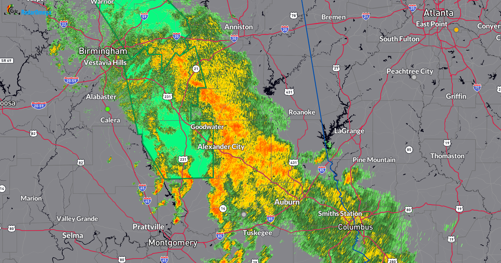
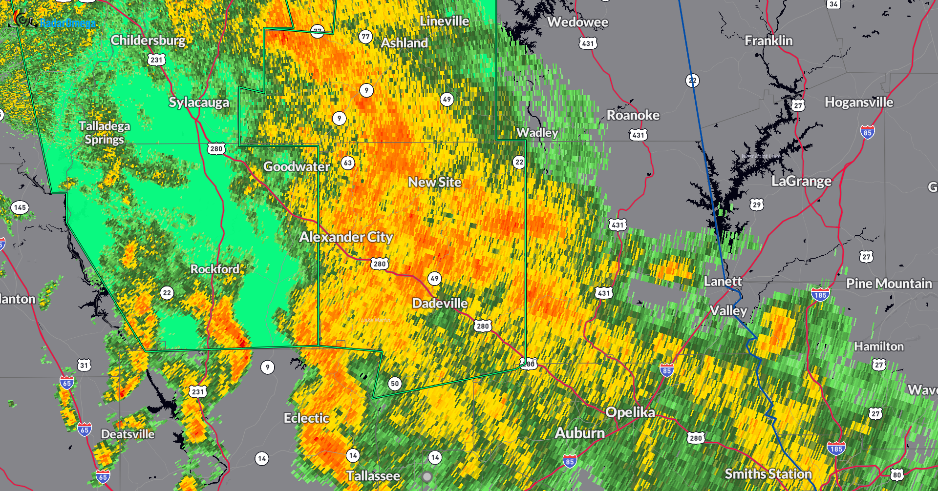
We still have a band of rain set up from NW Alabama stretching southeast through the Birmingham Metro down to Auburn. There has been a decrease in the rain intensity from downtown Birmingham north. This is a welcome break from some of the worst hit areas including Moulton. The area of moderate to at times heavier rain roughly from east of Birmingham to west of Oxford along I-20 and then south through Waldo, Ashland, Alexander City, Dadeville and Opelika.
Current Advisories:
- Flood warning until 1pm for the following counties: In north central Alabama, Cullman,
Limestone and Morgan. In northwest Alabama, Colbert, Franklin AL, Lauderdale and Lawrence.- Because of the easing up of the heavier rain, the flash flood warning was allowed to expire for parts of this area and replaced with this areal flood warning to cover the ongoing flooding.
- Talked to a friend of mine in Moulton who had to find a different route due to flooding of numerous roads. Emergency Management reports flooding along Crow Branch just west of Market Street and School Street.
- Flash Flood Warning does remain in effect for parts of Cullman and Morgan Counties until 1030am. This area also under the areal flood warning until 1pm
- Flood Advisory for Blount, Jefferson and St. Clair Counties until 1045am.
- Flood Advisory for Coosa, Shelby and Talladega Counties until 1030am.
- Flood Advisory for Clay and Tallapoosa until 1pm
- This is the newest advisory that has been issued. This covers the area that is getting some of the heaviest rain at this hour.
The Forecast:
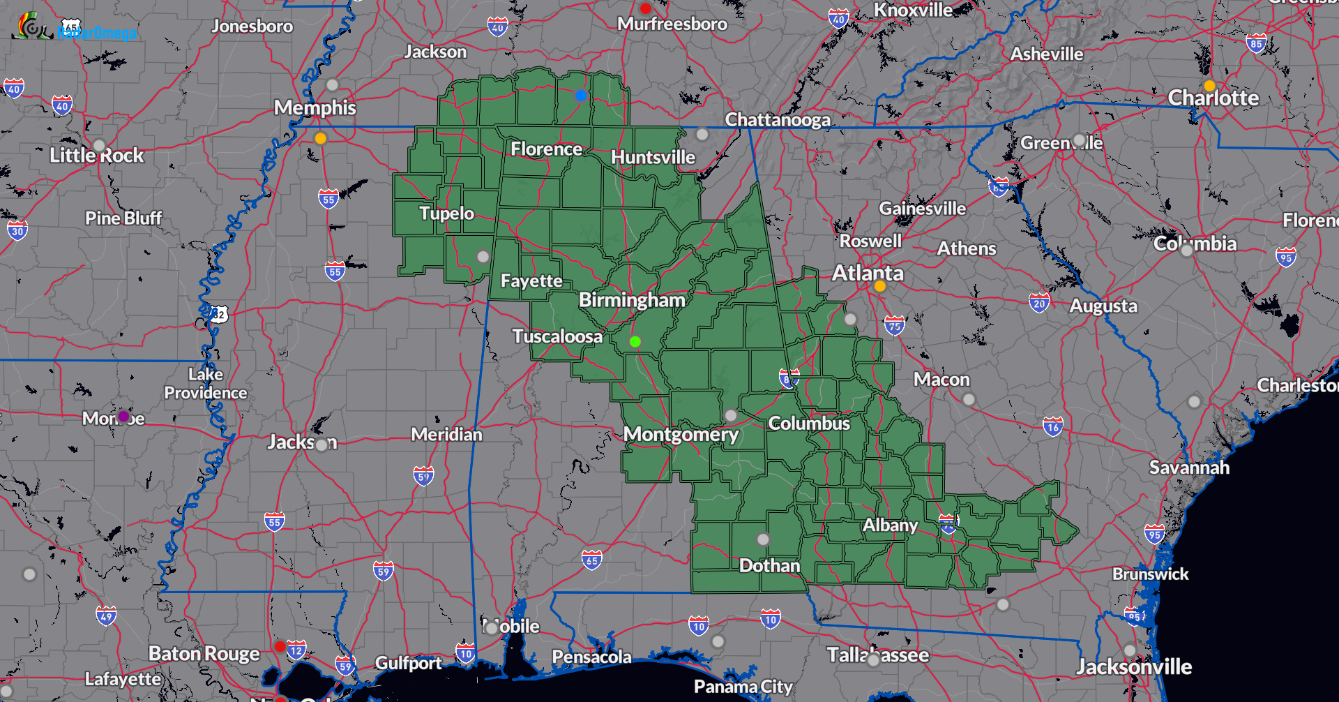
Flood watches remain in effect for a good part of Northern and Central Alabama. The NWS Huntsville continues the watch until this evening. They mentioned in their discussion that this could be extended if heavy rain begins to form again and last through the night. The NWS Birmingham has extended the watch through Sunday morning.
The concern through the afternoon is that daytime heating will help increase the convection along the rain band which is forecast to move a bit further west. A varying amount of rain totals possible through the next 24 hours and everyone should stay vigilant. It will be hard to pinpoint where some of the heaviest areas of rain will set up and as long as we have this tropical moisture in place widespread showers and storms will be possible.



