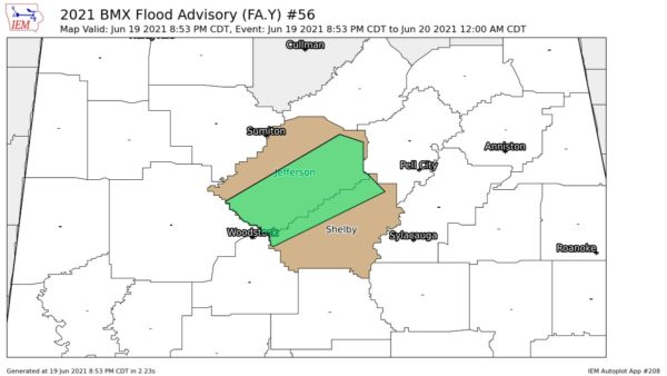
Rolling along. Speaking of the line of showers and thunderstorms that extends all the way across Central Alabama.
The leading edge at 5:45 was approaching Heflin in Extreme east Alabama…then down along the Talladega-Clay County line, across NW Coosa County to near Clanton, Marion and Demopolis.
Fairly broad area of lingering rain behind the leading edge. Storms are not severe but feature strong, gusty winds and heavy rain for a time.
Rainfall amounts so far:
0.77 at Taylorville (south of Tuscaloosa)
0.88 in Cordova
0.86 in Fayette
0.43 in Maylene
0.23 in Helena
0.41 at Alabaster (Najho Pines section)
These major cities are now clear of any strong storms although some rain or showers may linger for a time: Tuscaloosa, Birmingham, Cullman, Gadsden, Anniston, Talladega (to name a few)