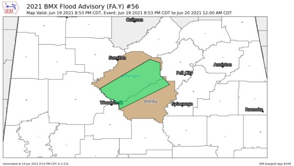
Numerous showers and some thunderstorms continue across North Alabama–generally from Cullman northward. There has been some decrease in lightning return from that area.
Heavy showers and thunderstorms were over West Central and SW Alabama. It was pouring across much of Dallas and Marengo County.
Still no warnings or watches so far in Alabama.
Just to our west, a Tornado Watch has been issued for 33 counties in Mississippi until 10 oclock this morning. This watch extends over to the Alabama border. This is a PDS Watch (Particularly Dangerous Situation)
A Tornado Warning was in effect for Covington and Lamar County in SE Mississippi until 3 am, CST.
A FEW SPOT REPORTS
* At 11:15 pm, hail the size of quarters in Jasper County, SE Mississippi
* At 1:25 am, power lines down from high winds at Kaplin, La.
* At 1:45 am, hail the size of quarters 6 miles west of Downtown Little Rock
Fortunately, so far, we have not seen any reports of confirmed major damage.
WEDNESDAY OUTLOOK FOR ALABAMA
Entire state is outlooked for a risk of severe weather. This includes a moderate risk from about the Hamilton-Oneonta-Gadsden line southward to the coast. Don’t be surprised to see a few warning in Alabama before daybreak.
LOW PRESSURE AREA LOCATION
At this hour, the intense surface low was centered near Texarkana and moving NE