UPDATED AT 9:55 PM FOR ADDITIONAL RAIN AMOUNTS
It was a general soaking across the Greater Birmingham area late this afternoon and evening.
The most beneficial rain in a long time.
There was also locally heavy rain in a number of communities around the state.
At 9 o’clock tonight, steady rain continued over much of Jefferson, Shelby and Walker County. Some of the rain was moderate.
NWS issued a Significant Weather Alert for Western Winston County in NW Alabama. A thunderstorm was 3 miles west of Lynn and not moving at all. It was dumping heavy rain.
Also some strong storms still in progress near Monroeville in South Alabama.
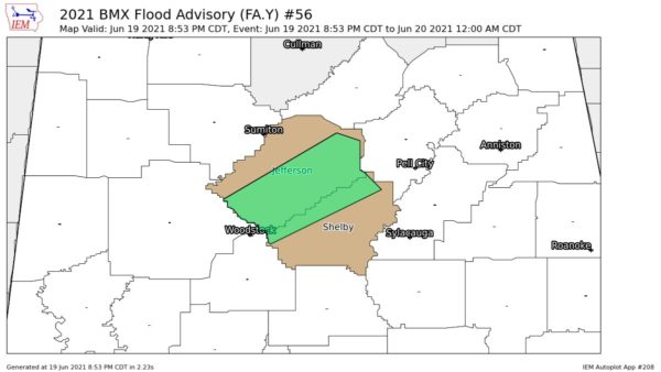
There was flooding in parts of the Birmingham area when the storms moved through and scattered power outages throughout the area.
A collection of rain amounts from the afternoon/evening storms:
1.00 in South Hueytown (2-day total 1.40)
1.15 at Muscadine
0.64 at Alabaster
1.02 at Sterrett
0.32 at Bessemer
0.19 at Clay
0.46 at Munford
0.22 at Columbiana
0.64 at Helena (Brian Peters)
0.51 at Riverchase (33/40 weather office)
2.44 in Cahaba Heights
0.88 in NE Trussville (light rain continues at 9 pm)
0.41 at Black Creek (NE Etowah County)
0.50 at Mount olive
0.53 in West Helena (Old Cahaba section)
1.75 in Bluff park
2.50 in Mountain Brook (approxmate)
2.49 on Rex lake Road between Leeds and irondale
1.33 at Scottsboro on NE Alabama’s Jackson County
FROM THE 33/40 SKYCAMS
0.27 in Downtown Birmingham
0.94 at Inverness
0.39 in Jasper