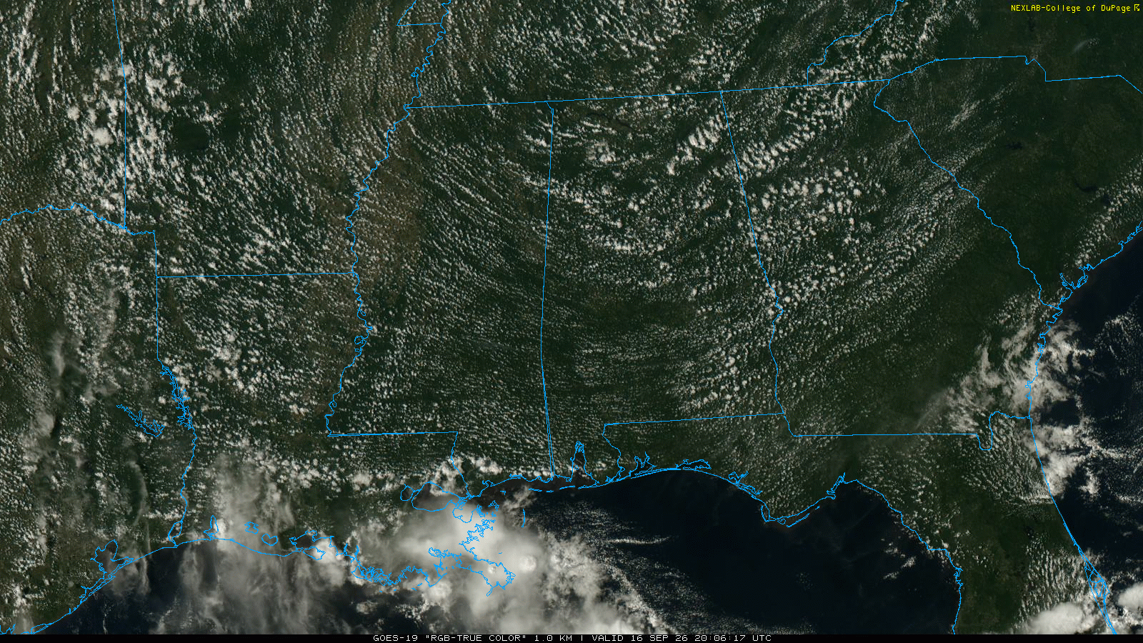
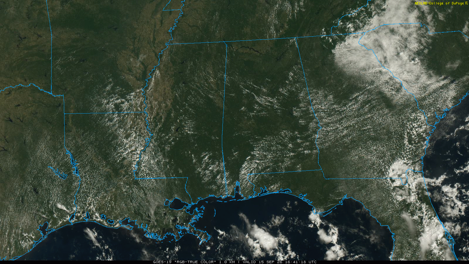
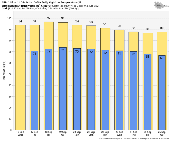
NEW DAY, OLD FORECAST: Alabama’s weather won’t change much through the weekend as the strong upper ridge stays in places. Mostly sunny, hot days with afternoon highs in the 95-100 degree range for most places. The sinking air motion under the ridge will keep a lid of rain chances; any afternoon showers/storms will be few and far between.
NEXT WEEK: The ridge weakens a bit, but the overall pattern remains the same. Temperatures remain above average with highs between 88 and 95 degrees, and afternoon showers remain widely spaced. Looks like we will have to wait until October to get the first good cold front of the fall season… See the video briefing for maps, graphics, and more details.
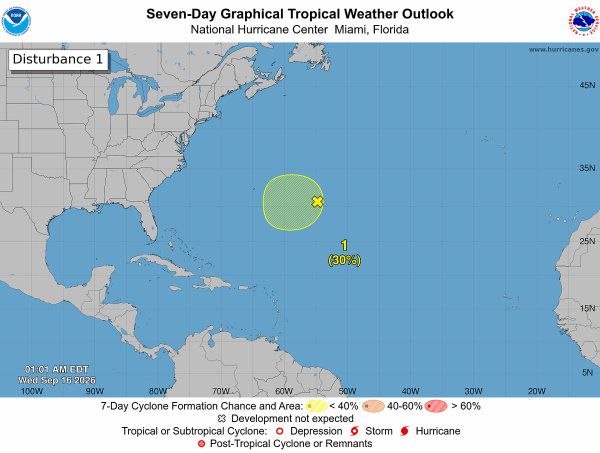
TROPICS: A trough of low pressure located about 600 miles east of Bermuda continues to produce disorganized showers and thunderstorms. Environmental conditions could become a little more conducive for development in a couple of days while the system moves slowly westward to west-northwestward over the subtropical Atlantic.
The chance of development has dropped to 30 percent; no tropical storms or hurricanes are expected near the U.S. for at least the next 7 days.
FOOTBALL WEATHER: Alabama will host Florida State Saturday afternoon (2:30p CT kickoff at Bryant-Denny)… it will be another very hot September day in Tuscaloosa. Temperatures will be in the 95-100 degree range during most of the game. The chance of a cooling shower is low, but not zero.
Auburn hosts Florida Saturday evening (6:00p CT kickoff at Jordan-Hare); temperatures will fall from near 90 at kickoff into the upper 70s by the final whistle. Any showers across East Alabama will be very isolated.
North Alabama plays their first game in the new Bank Independent Stadium/Bobby Wallace Field Saturday evening against Alcorn State (6:00p CT kickoff). Expect low 90s at kickoff, upper 70s by the final whistle.
Expect similar weather for the Saturday evening home games at Jacksonville State, South Alabama, and West Alabama.
ON THIS DATE IN 2004: At 51 minutes after midnight on 16 September 2004, the northern eyewall of powerful Hurricane Ivan moved onto land near Gulf Shores as an upper end Category 3 hurricane.
Bringing with it 130 mph surface winds and a 12 foot storm surge, estimates show that the magnitude and extent of the damage and destruction over Baldwin County and Escambia and Santa Rosa counties of Northwest Florida likely exceeded that of both Hurricane Frederic (September 1979) and Hurricane Opal (October 1995).
ON THIS DATE IN 2020: Hurricane Sally made landfall in Gulf Shores as a strong Category 2 hurricane with maximum sustained winds of 105 mph. Sally produced widespread wind, storm surge, and freshwater flooding across coastal Alabama and the western Florida Panhandle. Flood and wind damage also extended well inland into inland southwest Alabama and south central Alabama.
Sally was an extremely slow moving hurricane, which prolonged and exacerbated the local impacts. The storm was moving at less than 5 mph at the time of landfall, resulting in a long duration of tropical storm and hurricane force winds, storm surge, and torrential rainfall.
Look for the next video briefing here by 4:00 this afternoon… enjoy the day!