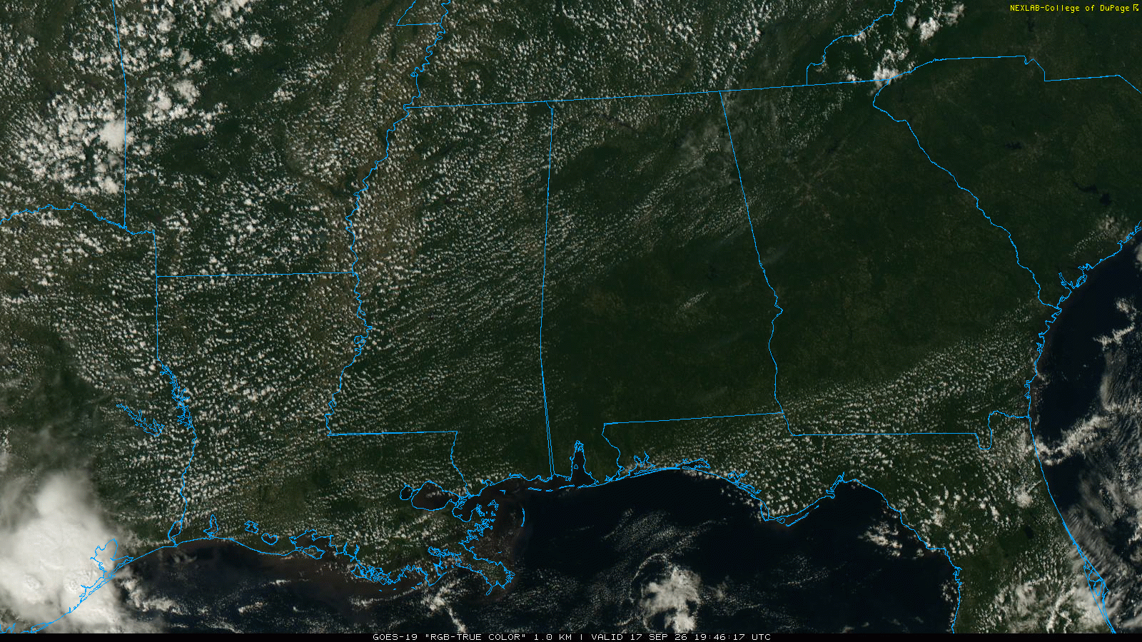
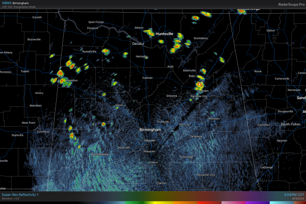
RADAR CHECK: While most of Alabama is simply hot and dry this afternoon, we do have a few small isolated showers and storms over the northern half of the state. These showers will fade quickly after sunset.
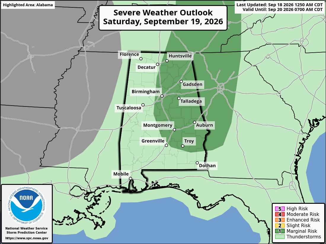
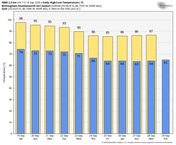
The long late summer heat wave continues across Alabama through the weekend with highs well into the 90s each day. The upper ridge will shift a bit to the west tomorrow, which opens the door for a few pop up afternoon/evening storms tomorrow and Sunday. SPC maintains a “marginal risk” of severe thunderstorms for roughly the eastern half of the state tomorrow afternoon. Where storms do develop they could pack a punch with strong winds.
NEXT WEEK: The weather won’t change much Monday and Tuesday; highs in the 90s with a few isolated afternoon showers or storms. The stubborn ridge finally weakens over the latter half of the week, when highs drop into the 80s. Some of the cooler spots across the state could see lows in the upper 50s by Friday morning… See the video briefing for maps, graphics, and more details.
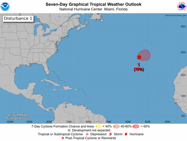
TROPICS: Showers and thunderstorms have changed little in organization since this morning in association with an area of low pressure (Invest 99L) located several hundred miles southwest of the Azores. However, just a small increase in organization is likely to result in the formation of a tropical depression as soon as later today. The system is expected to move slowly over the next couple of days remaining southwest of the Azores, followed by a turn to the southwest by early next week, when environmental conditions are forecast to become less favorable for additional development.
Chance of development is 70 percent, but this feature will stay far from land. The rest of the Atlantic basin remains quiet. No tropical storms or hurricanes are expected near the U.S. for at least the next 7 days.
FOOTBALL WEATHER: Alabama will host Florida State tomorrow afternoon (2:30p CT kickoff at Bryant-Denny)… it will be another very hot September day in Tuscaloosa. Temperatures will be in the mid to upper 90s during most of the game. A few isolated showers are possible across West Alabama; hopefully one gets close enough to cool things down a bit. But that is not especially likely.
Auburn hosts Florida tomorrow evening (6:00p CT kickoff at Jordan-Hare); temperatures will fall from near 90 at kickoff into the upper 70s by the final whistle. We will need to introduce the chance of a passing shower or thunderstorm, mainly during the first half of the game. Another lightning delay is not out of the question.
Very similar weather for the Jacksonville State home game tomorrow evening against Georgia Southern; a passing shower or storm is possible during the first half.
North Alabama plays their first game in the new Bank Independent Stadium/Bobby Wallace Field tomorrow evening against Alcorn State (6:00p CT kickoff). Expect low 90s at kickoff, upper 70s by the final whistle. The chance of a shower is very low.
Expect similar weather conditions for home games tomorrow evening at South Alabama in Mobile and West Alabama in Livingston.
ON THIS DATE IN 1926: The great “Miami Hurricane” produced winds of 138 mph that drove ocean waters into the Biscayne Bay drowning 135 persons. The eye of the hurricane passed over Miami, at which time the barometric pressure reached 27.61 inches. Tides up to twelve feet high accompanied the storm, which claimed a total of 372 lives.
Look for my next video briefing here by 6:00 a.m. Monday… enjoy the weekend!