


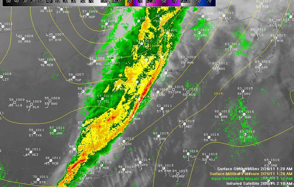
No watches or warnings in Alabama at this hour.
The line of thunderstorms has pushed southeastward to near Roanoke, Dadeville, Eclectic and Montgomery. The severe weather threat is over behind this line and has greatly diminished ahead of it in Alabama.
A severe thunderstorm watch is in effect for northern Georgia along with several severe thunderstorm warnings.
The back edge of the rain is nearing the Birmingham metro area now, from Tuscaloosa through Walker and into Blount Counties.
Clearing skies have already entered northwestern Alabama.
This has been a good practice run for the coming severe weather season in Alabama. No major damage tonight, although there has been widespread reports of trees down and power line damage with over 30,000 Alabama Power customers without electricity earlier.
A potentially stronger even could affect us Sunday night into Monday. The good news is that it looks like it will be coming in at the best time of day from an intensity standpoint…during the early morning hours. Hopefully it will be weaker because of this. We will be studying it later today and through the weekend.
Thanks for staying up with us tonight. It is a pleasure to bring weather information to the best audience in the country.



