


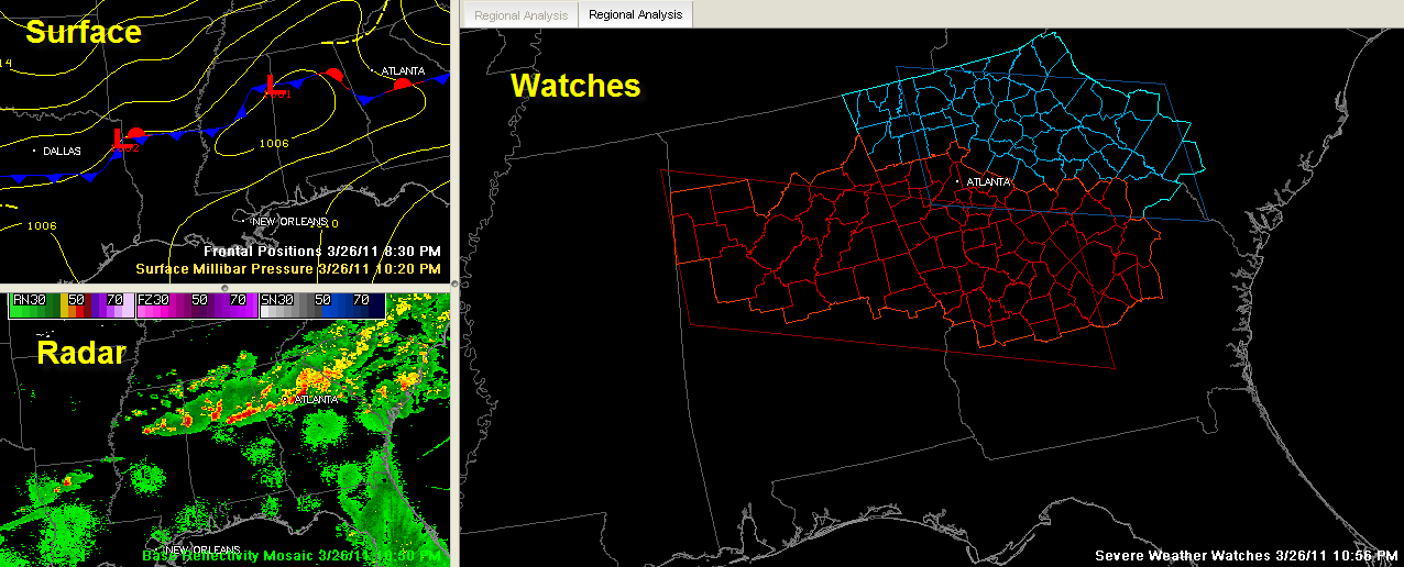
The NWS has added Bibb, Chilton and Coosa Counties to the Tornado Watch till 3:00 AM CDT.
The Tornado Watch continues for Blount, Calhoun, Chambers, Cherokee, Clay, Cleburne, Etowah, Fayette, Jefferson, Lamar, Lee, Marion, Randolph, Shelby, St. Clair, Talladega, Tallapoosa, Tuscaloosa, Walker and Winston counties till 3:00 AM CDT.
The current configuration of the tornado Watch is show on the right. At the upper left, you can see the surface chart. The main low is over Northwest Alabama now. You can see the boundary. It is 54F in Huntsville and 72F in Birmingham.
There is another low to the west approaching Shreveport. We will have to see if this low will affect us during the overnight hours by pulling the boundary back to the north again. The models don’t think so, pushing the activity southeast of Birmingham before sunrise.
A new disturbance could trigger a few showers tomorrow night into Monday morning, but they don’t look significant.



