


Here is an update on the Alabama weather situation at 3 a.m.
The severe thunderstorm warning for Calhoun and Cleburne Counties has been canceled. The storm weakened and is no longer severe.
Michelle Miklik in Weaver was very close to the core as it moved through her area and reported just a few hailstones, nothing major.
Showers and thunderstorms continue across the northern third of Alabama early this morning. They have weakened in intensity in the past hour.
An upper level trough seen on this SimAWIPS display in the lower left panel has been responsible for the storms tonight. It is moving through Arkansas now.
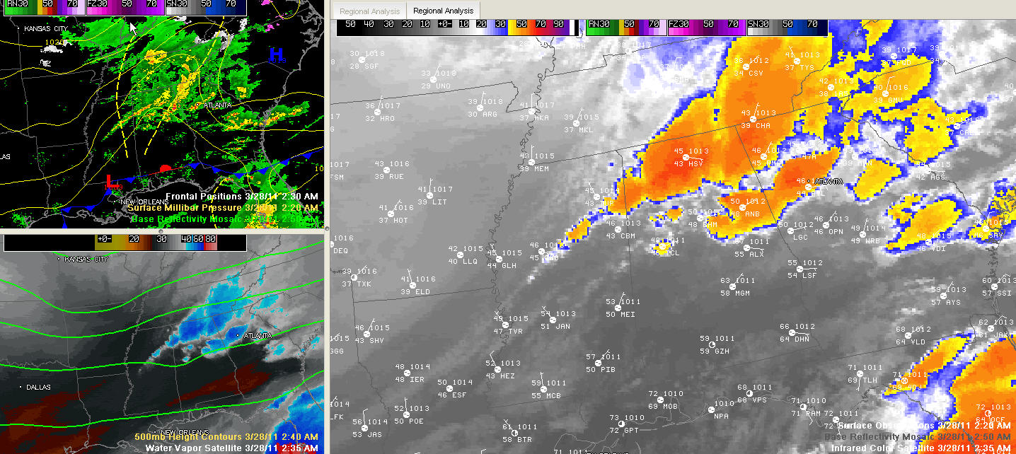
The back edge of the storms is now extending from Cullman through Winston southern Marion and into Lamar Counties. This back edge should continue pushing southeastward and weakening, putting an end to the showers and storms.
Skies clear pretty quickly behind the main line. When they do, dense fog might form rather quickly, so keep that in mind a little later this morning. Sunshine should return later today.
More storms will arrive Tuesday night into Wednesday morning. It is too early to tell if they will be severe, but that is a possibility.
This will be the last update of the night unless more warnings are issued.



