An all new edition of the ABC 33/40 Weather Xtreme video is available in the player on the right sidebar of the blog. You can subscribe to the Weather Xtreme video on iTunes by clicking here.
TODAY: A little light rain and drizzle is showing up on radar this morning, but we figure most of that should be gone by mid-morning, and we could see a little sun breaking through the clouds by afternoon. Temperatures will remain well below average, but warmer than yesterday when Birmingham’s official high was only 49. Most places have a decent chance of reaching the low 60s today, but where the clouds hang tough, you won’t get out of the 50s.
WONDERFUL WEEKEND: All is well for the weekend, with sunshine back in full force tomorrow and Sunday with warmer afternoons. We reach the low 70s tomorrow, and by Sunday afternoon we should be very close to 80.
SEVERE WEATHER EARLY NEXT WEEK: Models are in much better agreement, and parameters will be in place for an outbreak of severe thunderstorms across Alabama late Monday night. Both the GFS and the ECMWF are suggesting the primary risk will come from about 10:00 p.m. Monday through 6:00 a.m. Tuesday, so it looks like we will be burning the midnight oil in the weather office. Often during the overnight events like this the activity to the west evolves into a long squall line with the primary threat coming from damaging straight line winds, but helicity values are very high and a few tornadoes will be possible as well, especially in cells ahead of the main line. While the atmosphere does tend to be a little more stable during the pre-dawn hours, the dynamic forcing with this system should keep the severe weather threat going pretty much all night long.
In addition to severe weather, the rain will be heavy with totals of 1-2 inches likely for much of Alabama. We will keep a close eye on model output over the weekend, but clearly everybody in Alabama will need to be in a position to hear watches and warnings Monday night into early Tuesday morning.
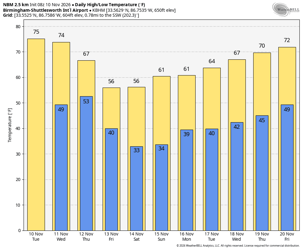
REST OF THE WEEK: Tuesday will much cooler with some clearing possible by afternoon. It looks like the coldest morning will be early Wednesday; the GFS is printing a low of 39 for Birmingham, but some frost will certainly be possible, and some of the colder valleys could hit the freezing mark. Growers will need to keep an eye on temperature forecasts. Then, the rest of the week looks pleasant with sunny mild days and clear cool nights. The next round of rain and storms is possible that following weekend; see the Weather Xtreme video for more long range ideas.
WEATHER BRAINS: Don’t forget you can listen to our weekly 30 minute netcast anytime on the web, or on iTunes. This is the show all about weather featuring many familiar voices, including our meteorologists here at ABC 33/40.
FOLLOW ALONG: Here are our weather team Twitter accounts….
| James Spann | Jason Simpson | Ashley Brand |
| J. B. Elliott | Bill Murray | Brian Peters |
| Dr. Tim Coleman | WeatherBrains Podcast | E-Warn (AL wx watches/warnings) |
I have a weather program this morning at Elvin Hill Elementary in Columbiana… look for the next Weather Xtreme video here by 3:30 or so this afternoon. Enjoy the day!